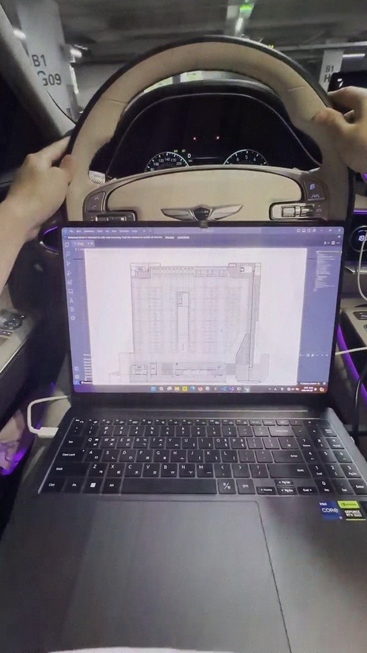
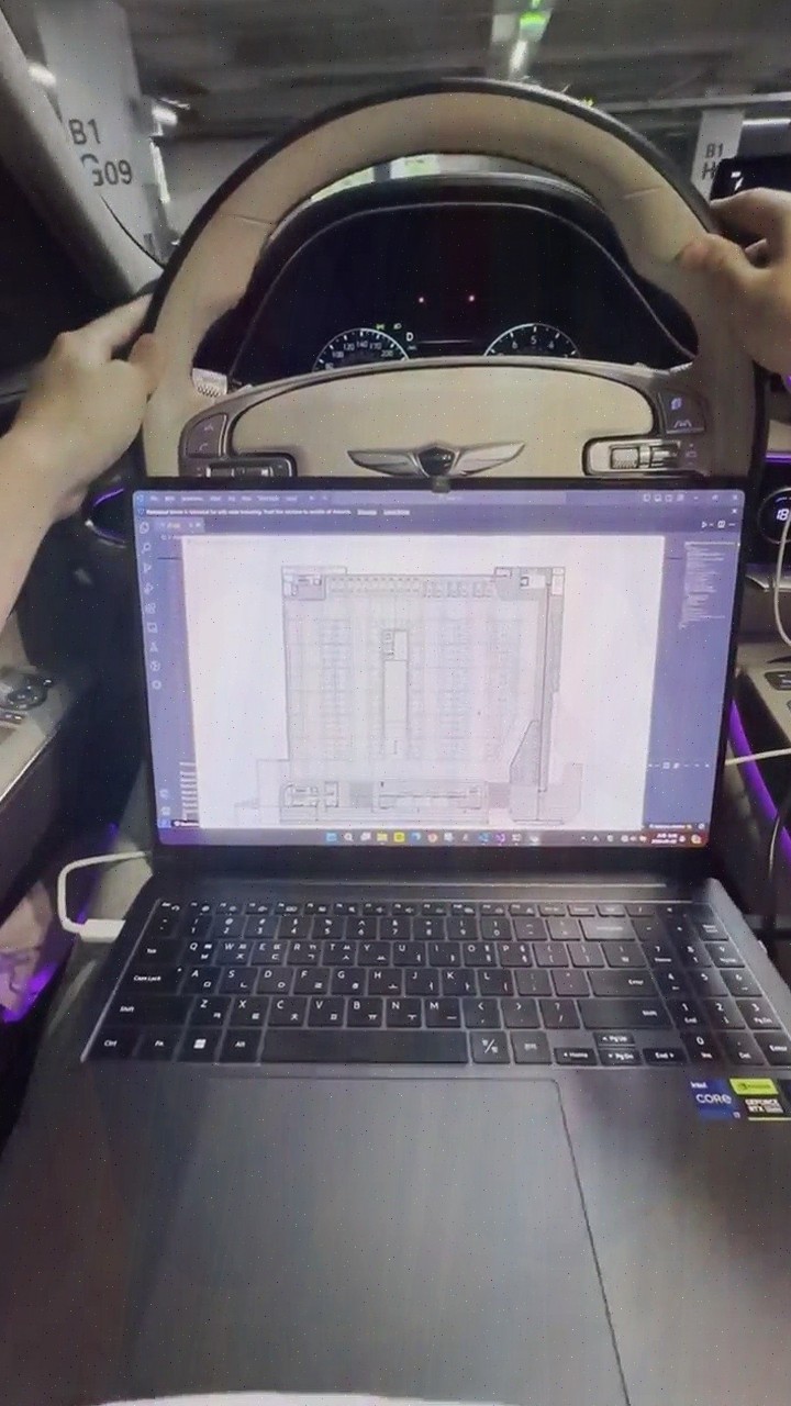
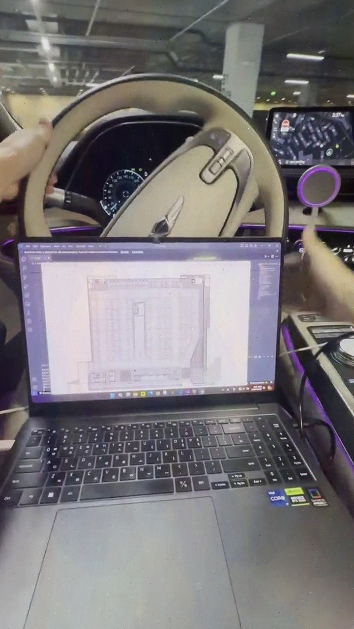
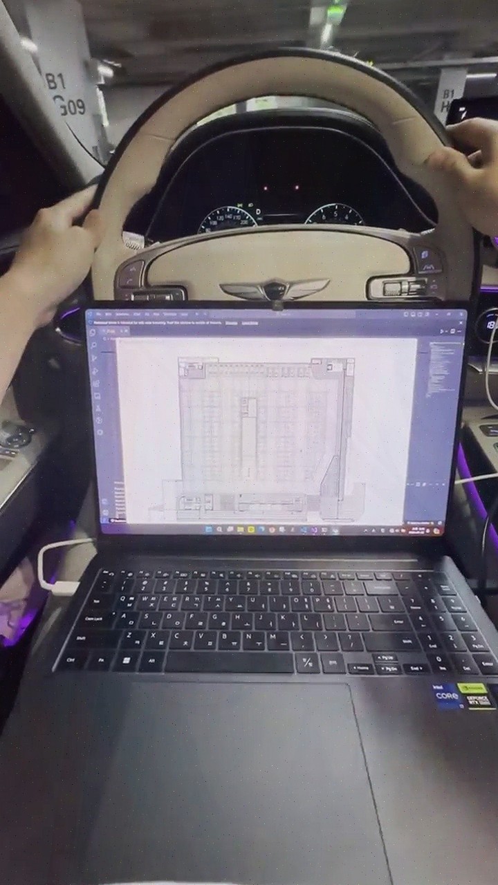
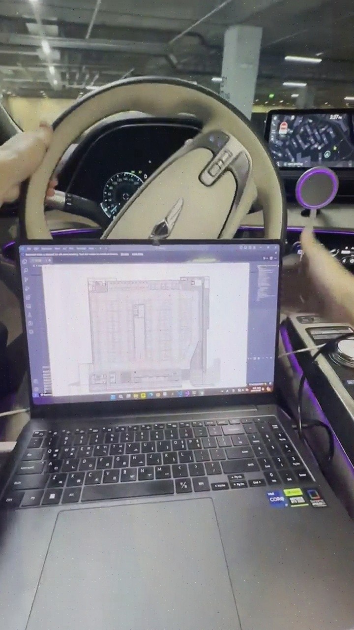
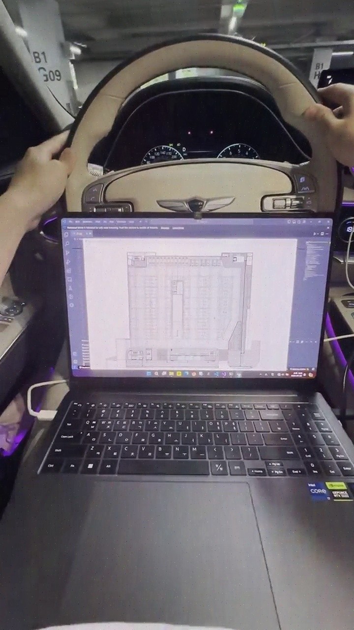
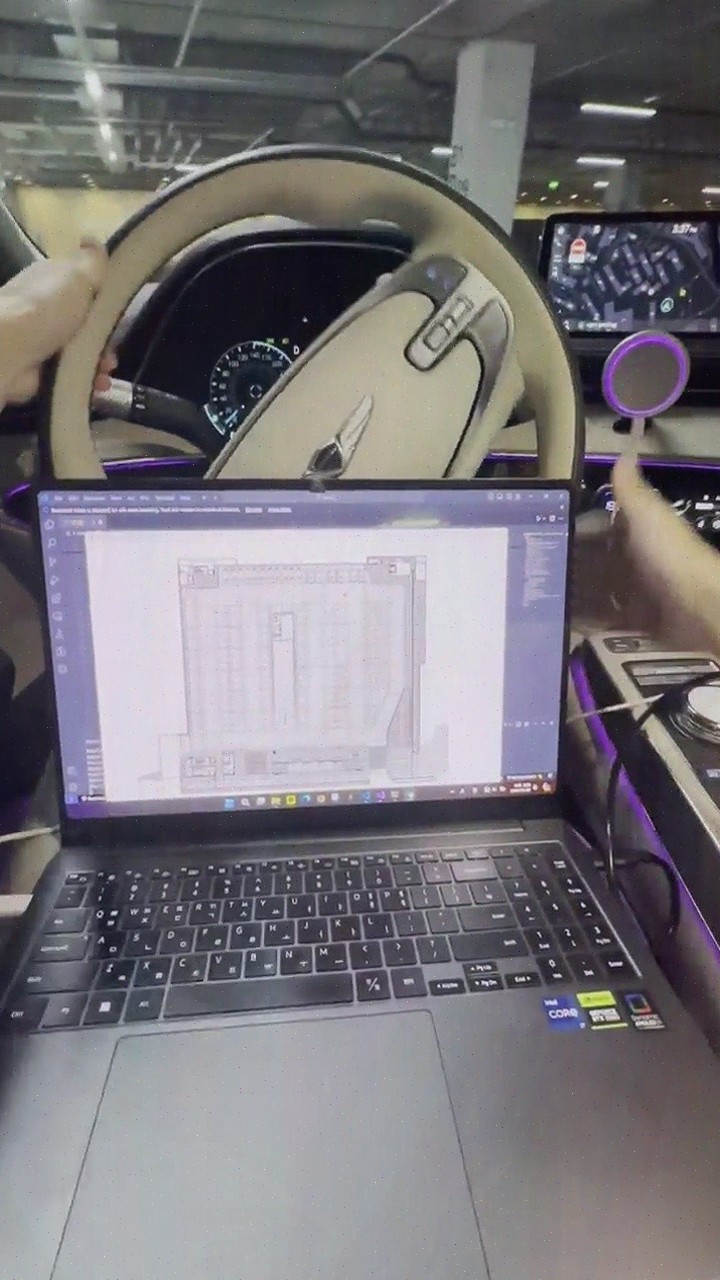
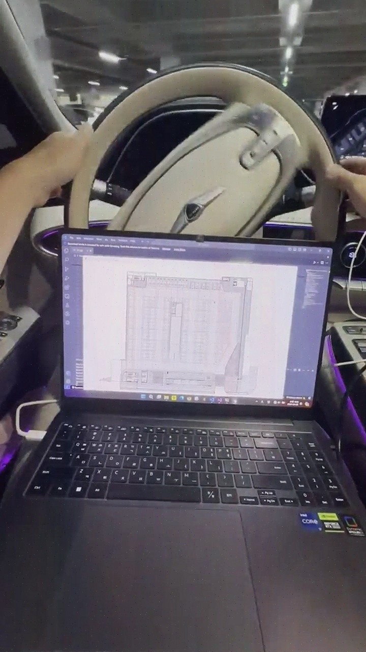
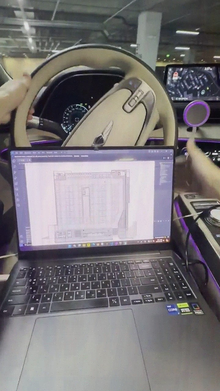
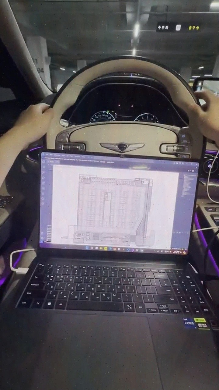
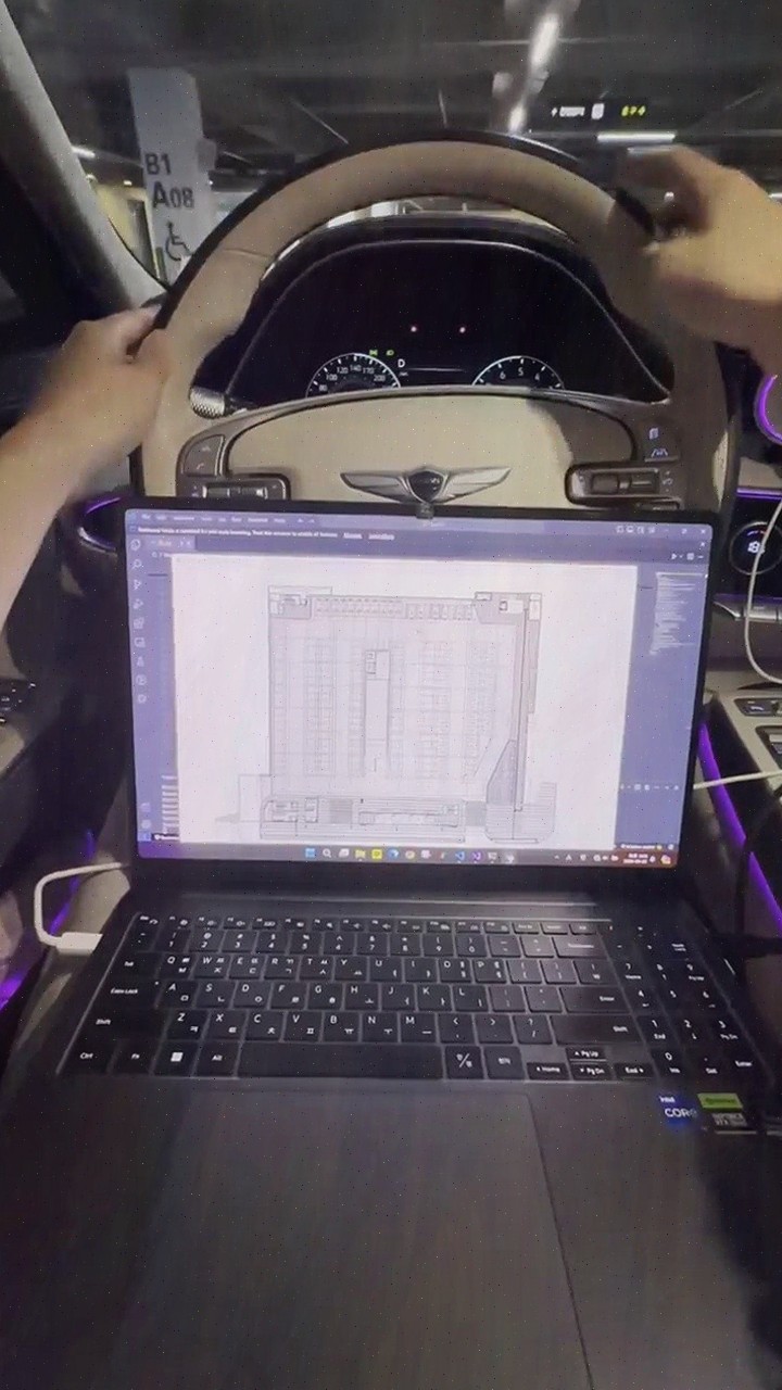
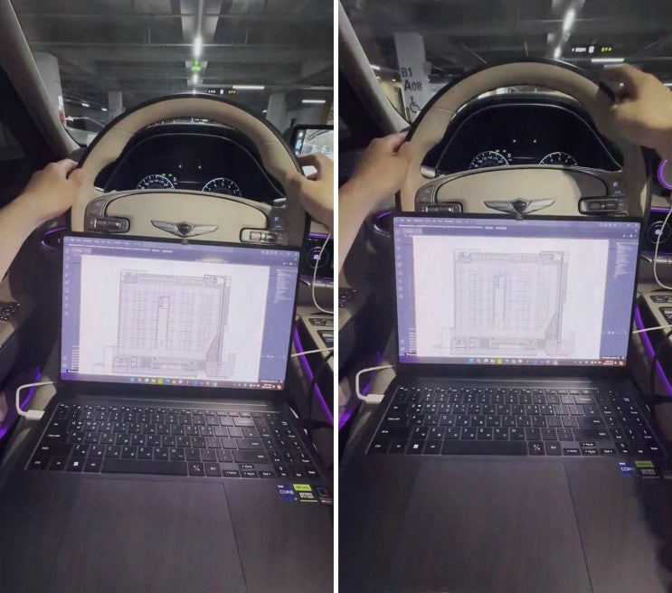
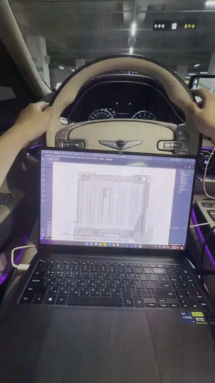
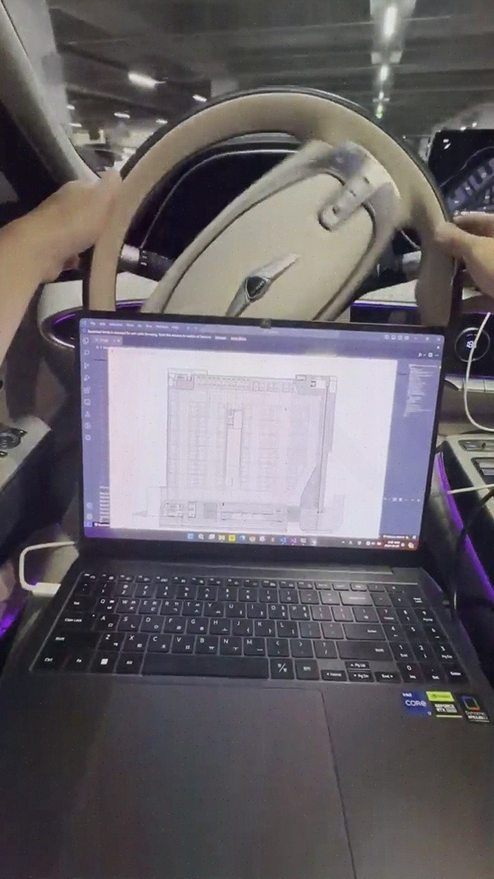
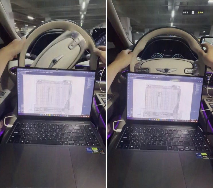
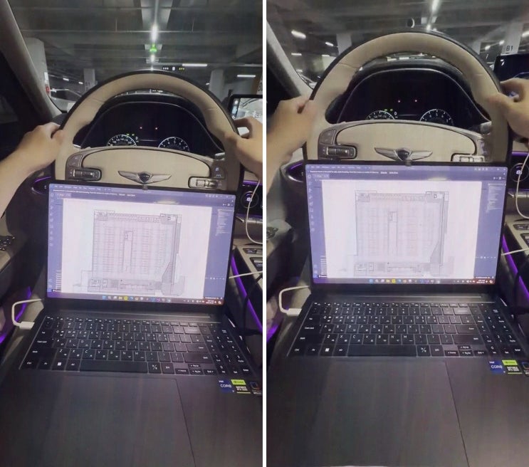
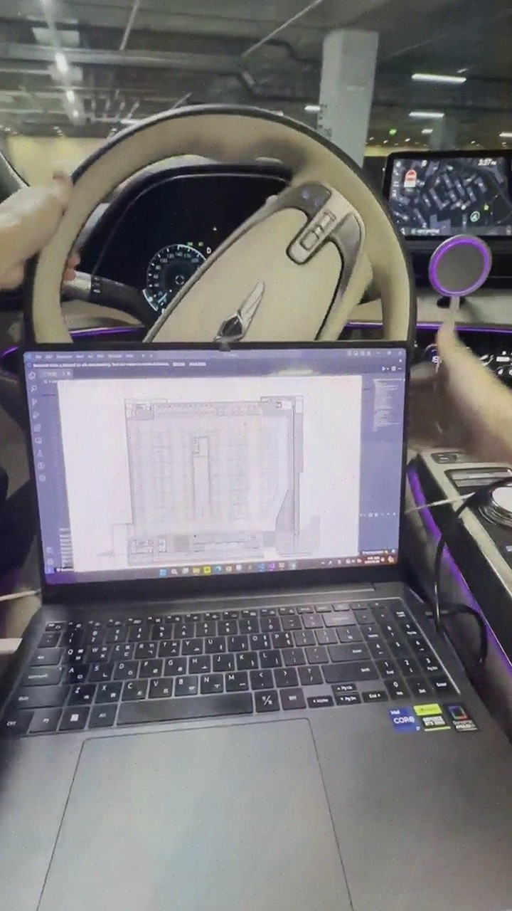
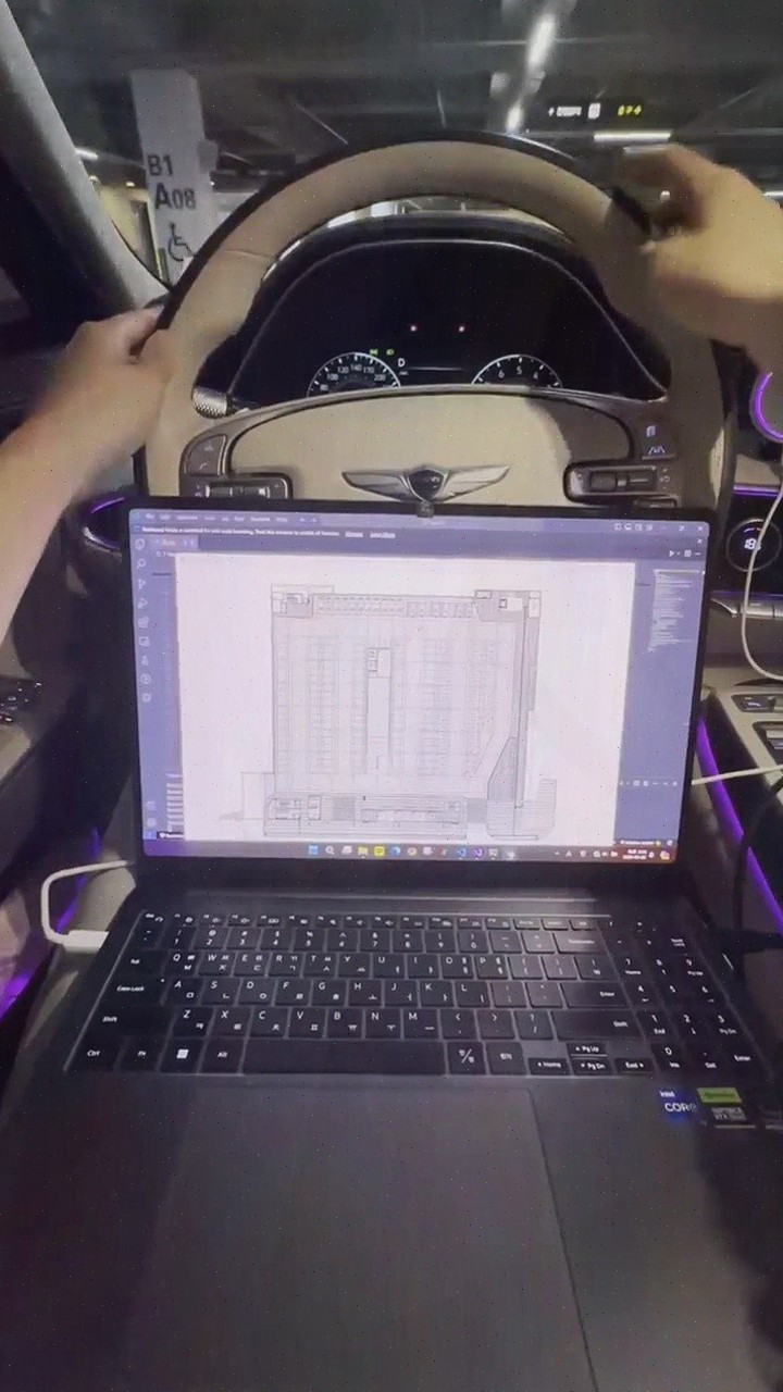
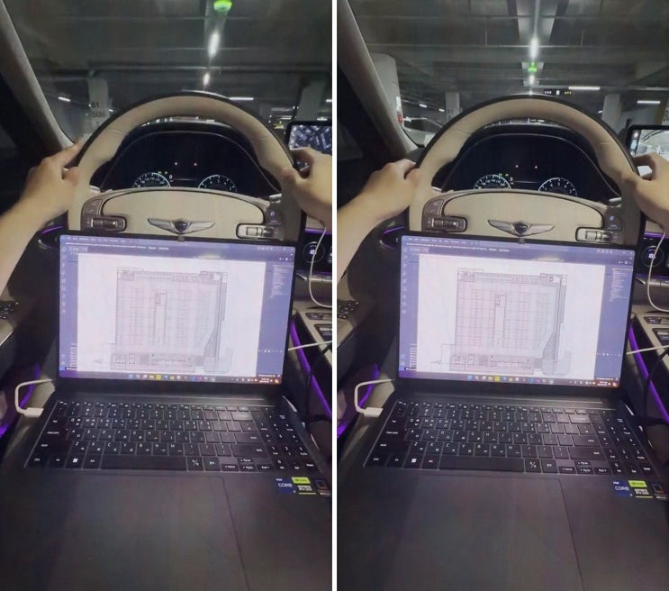
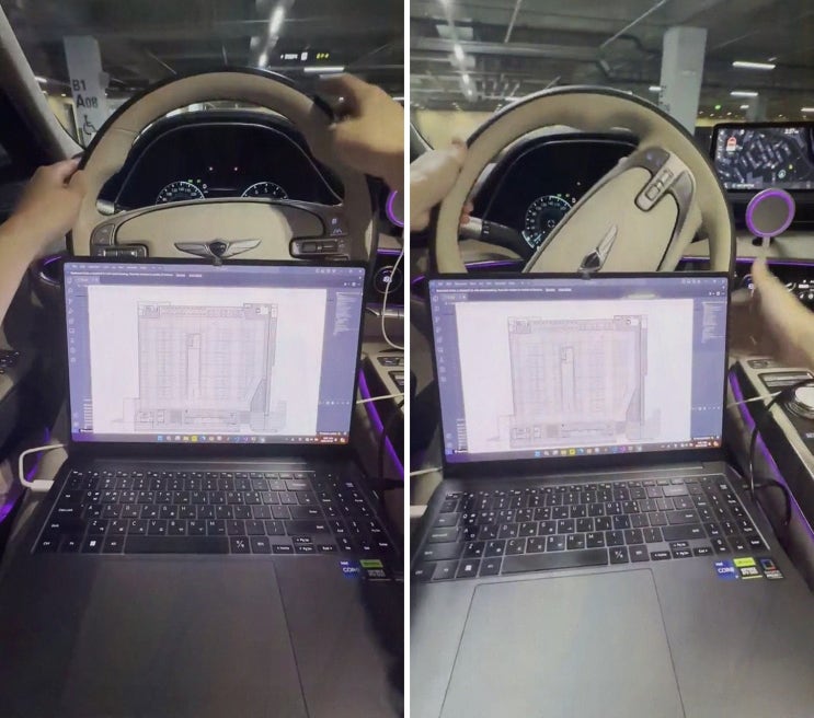
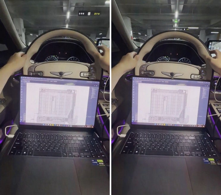
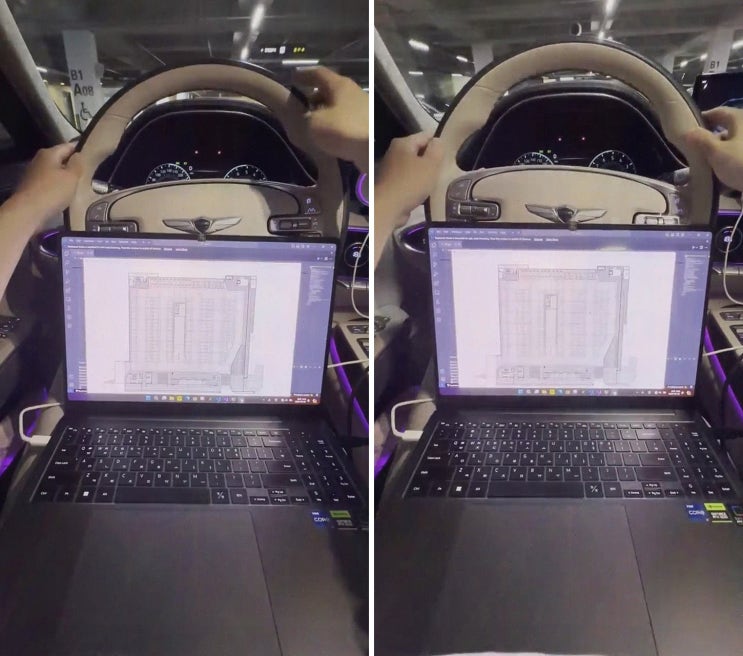
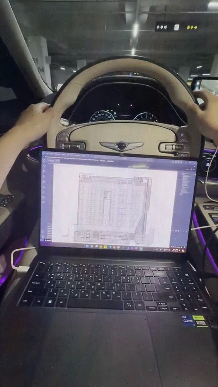
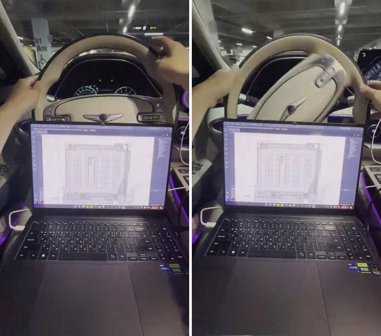
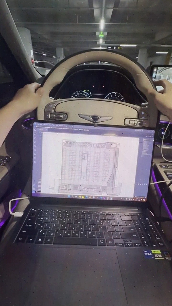
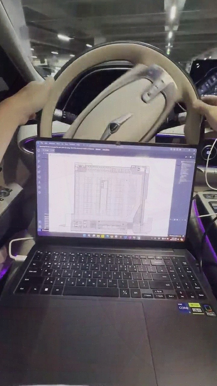
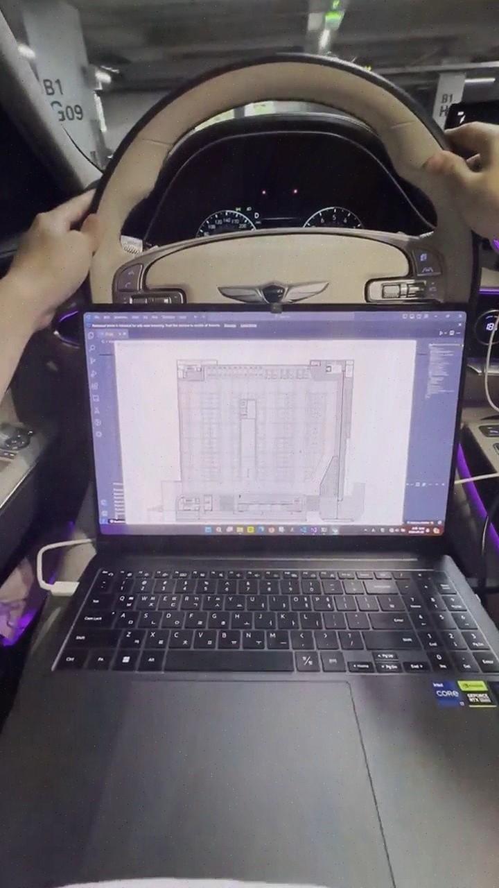
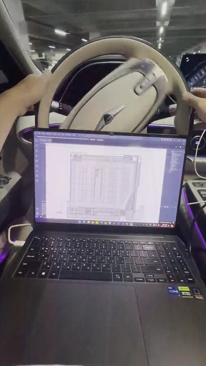
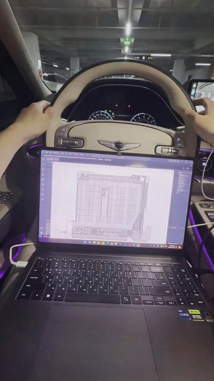
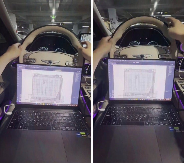
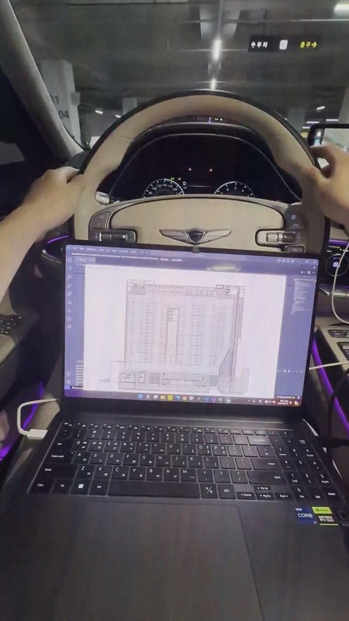
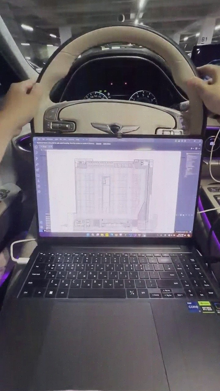
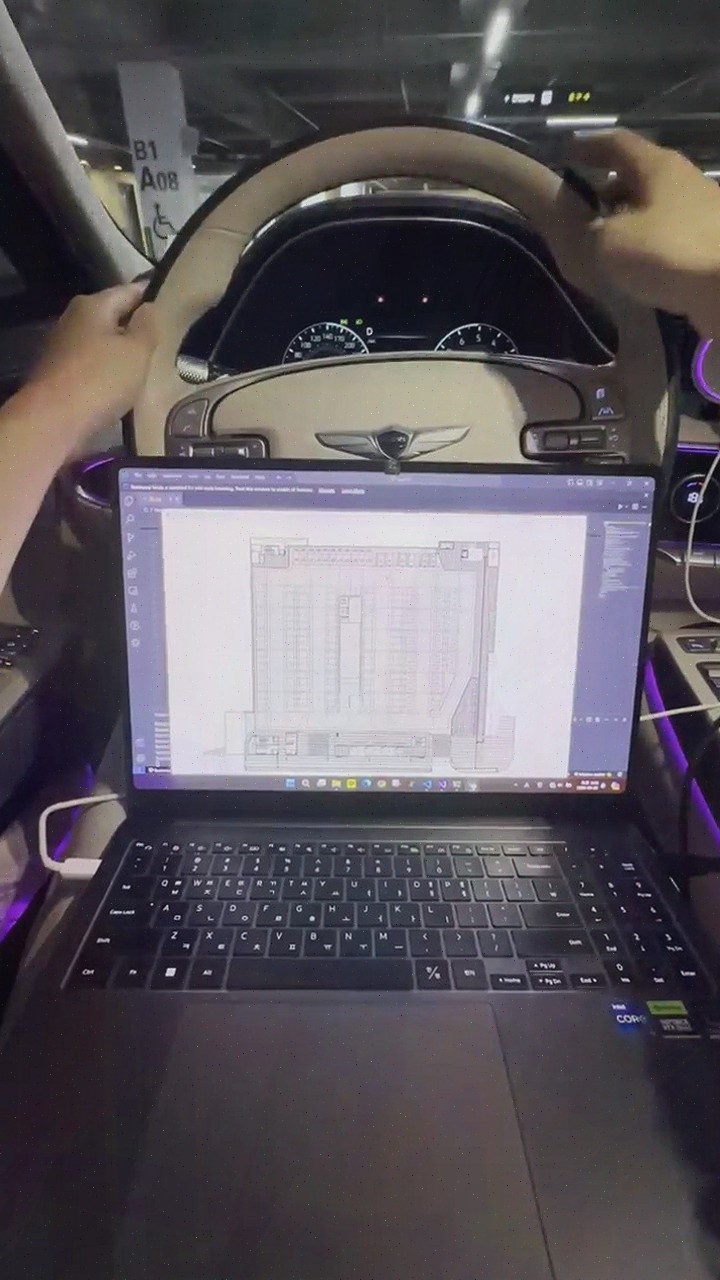
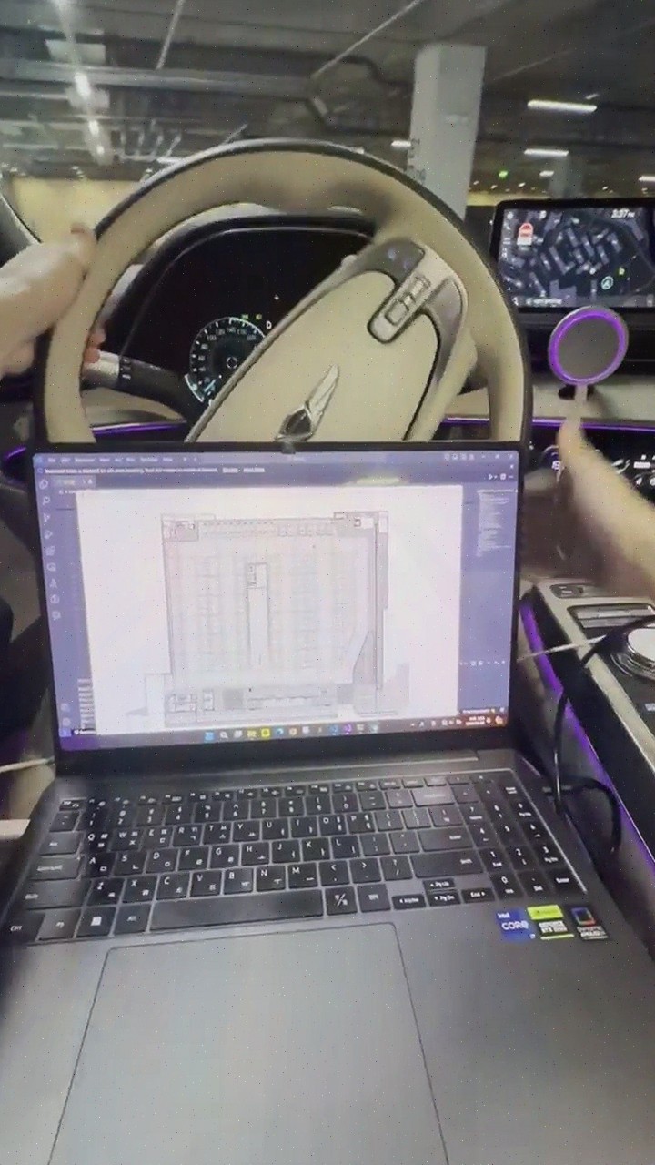
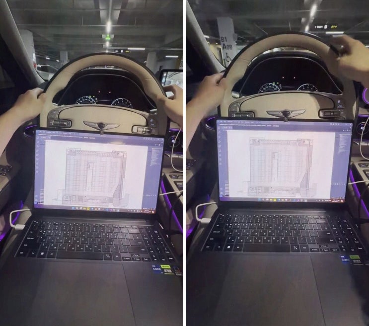
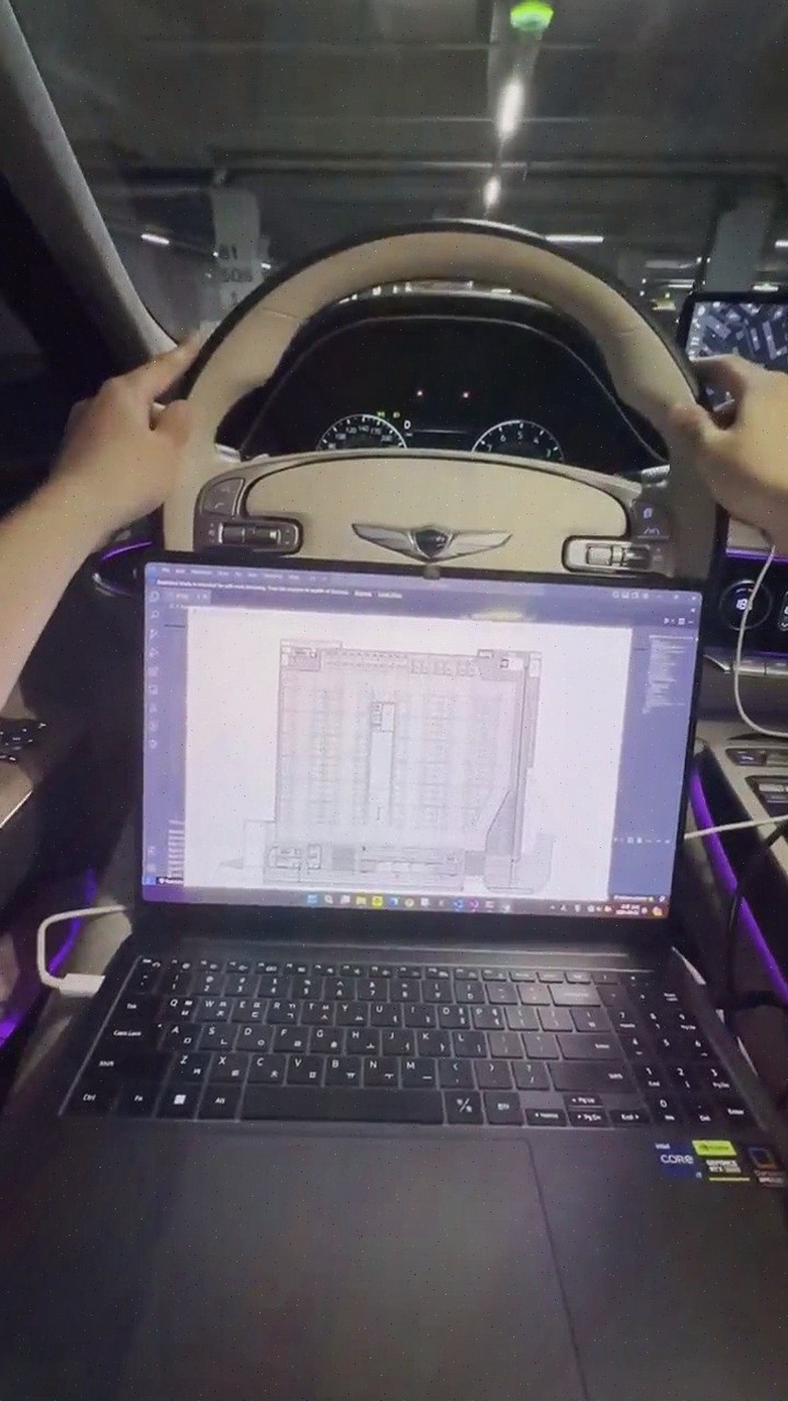
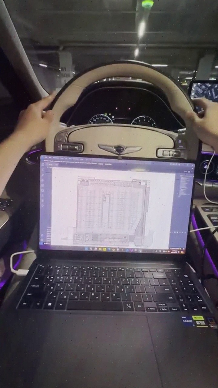
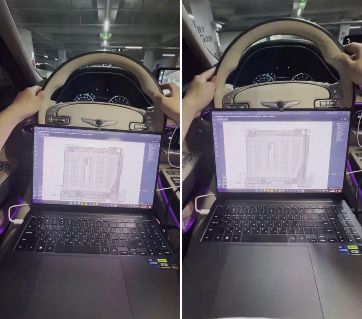
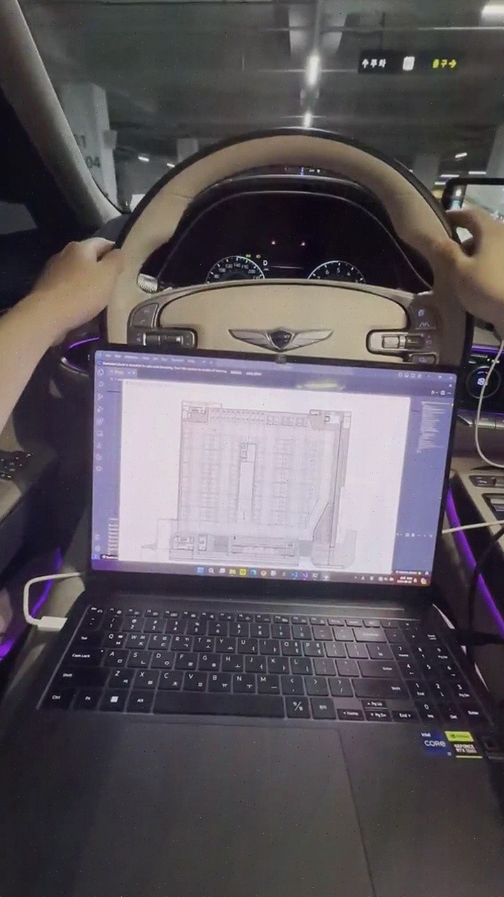
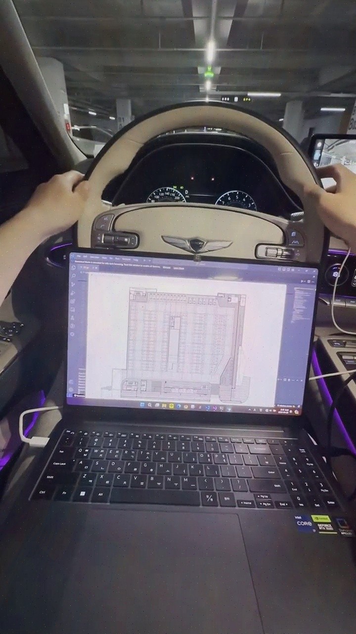
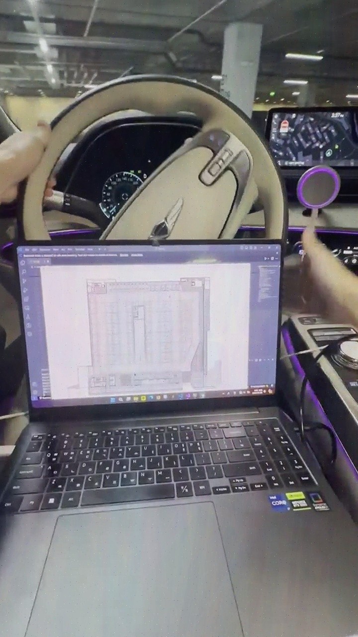
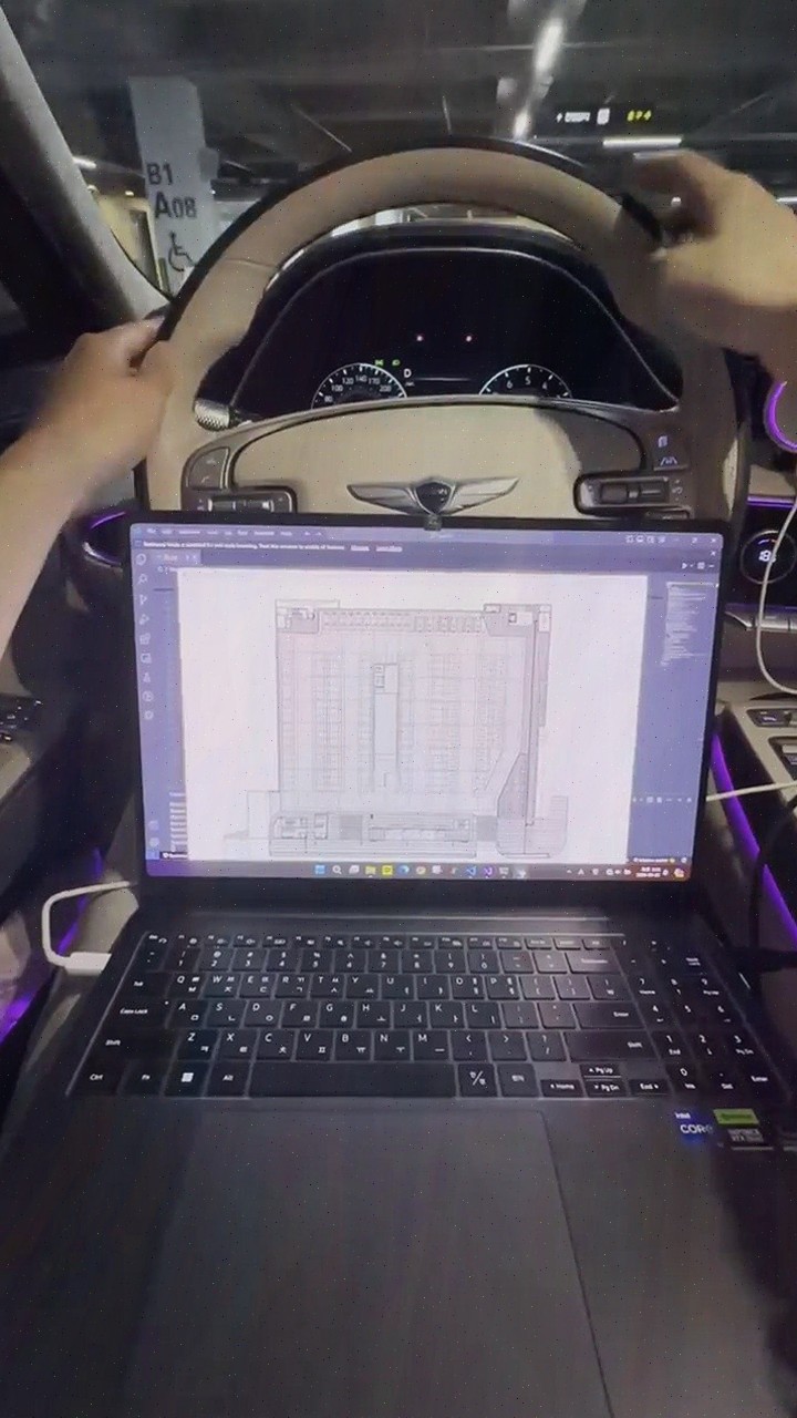
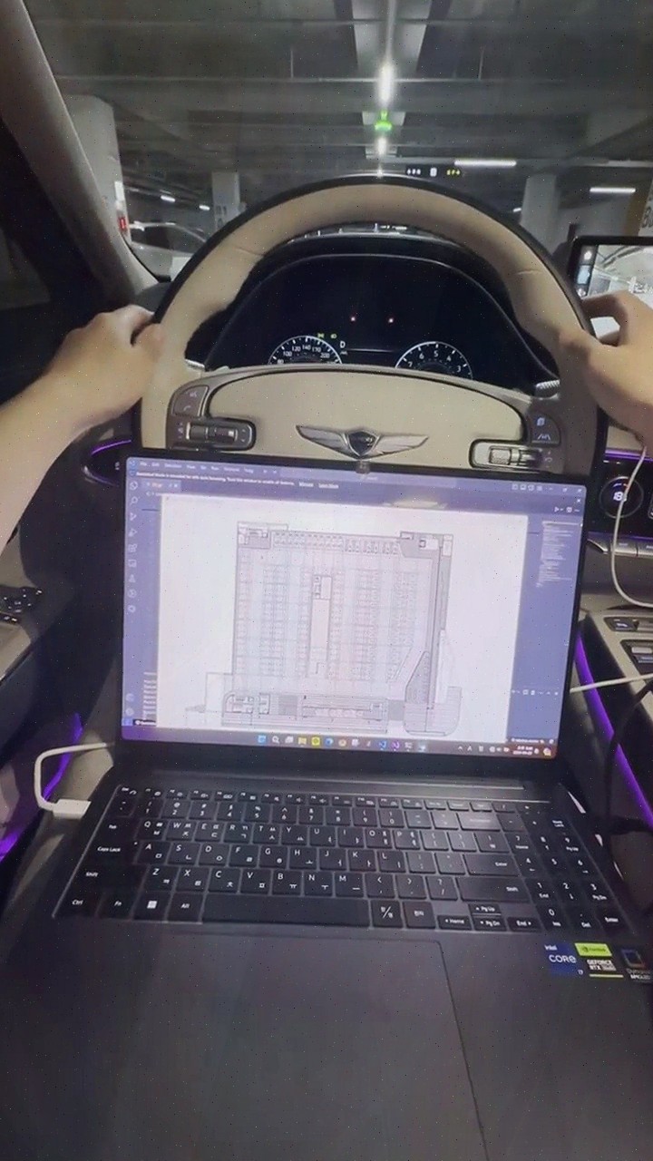
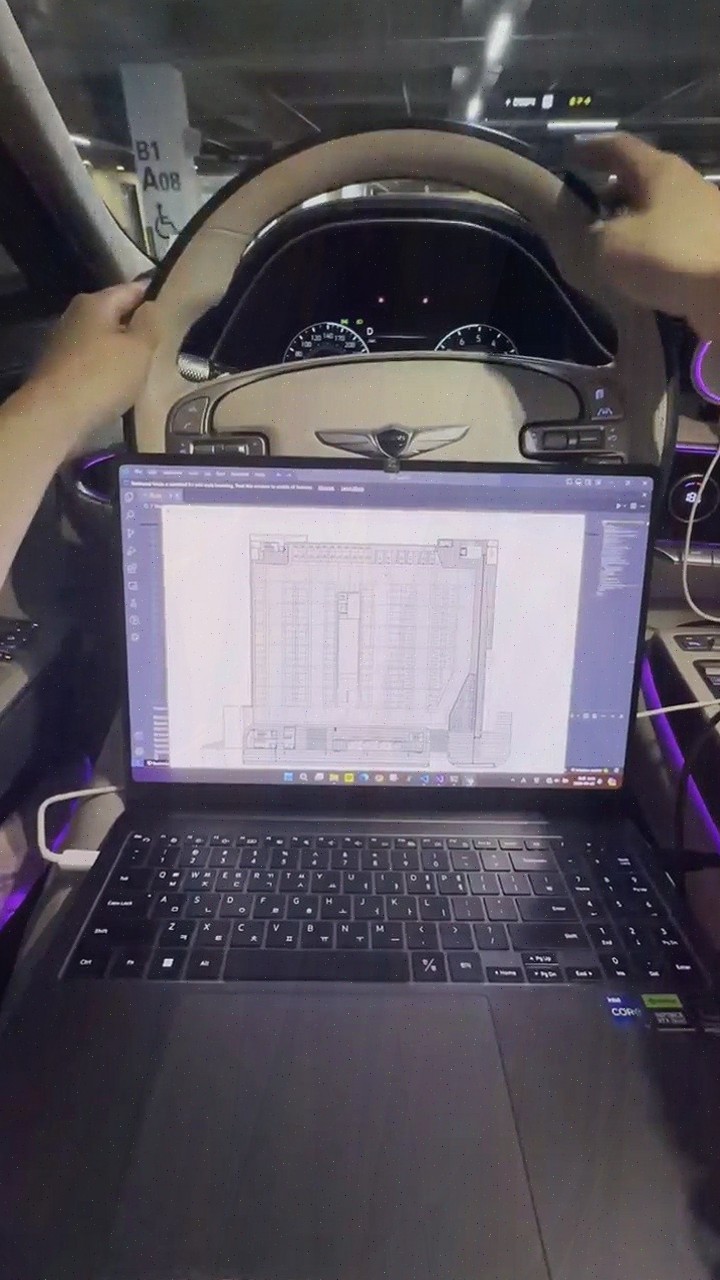
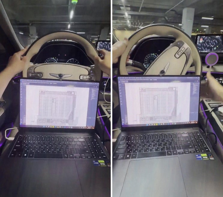
Jusikhoesa Jeuseuraepseu
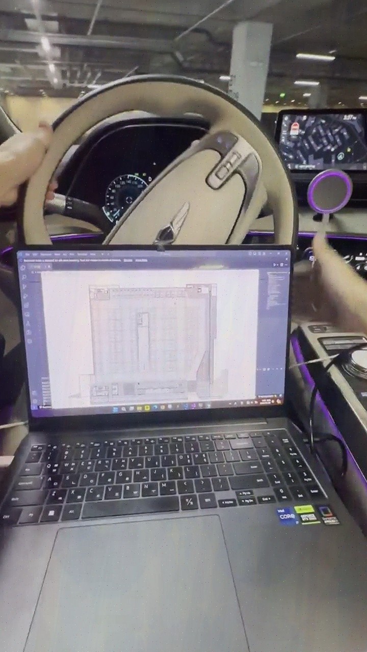
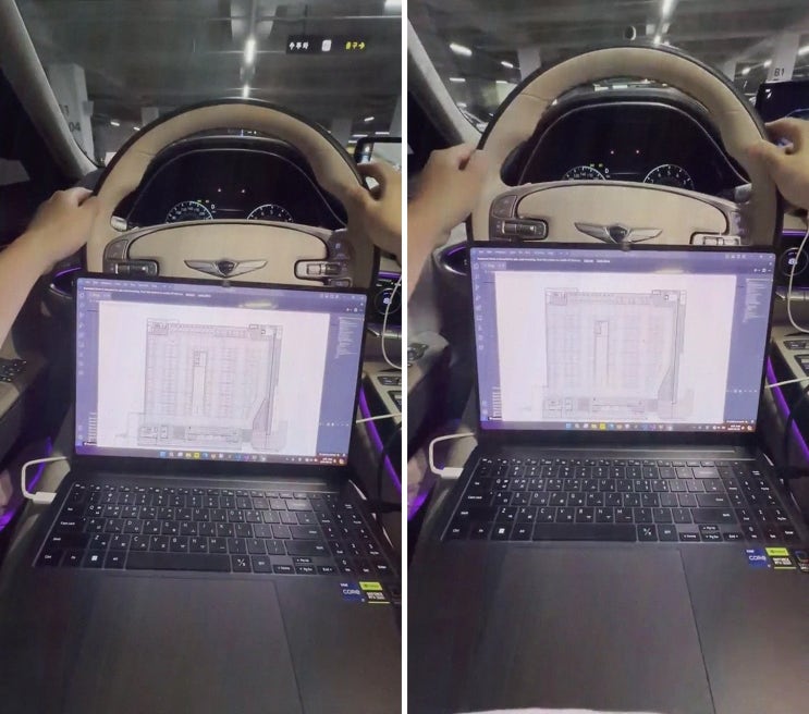
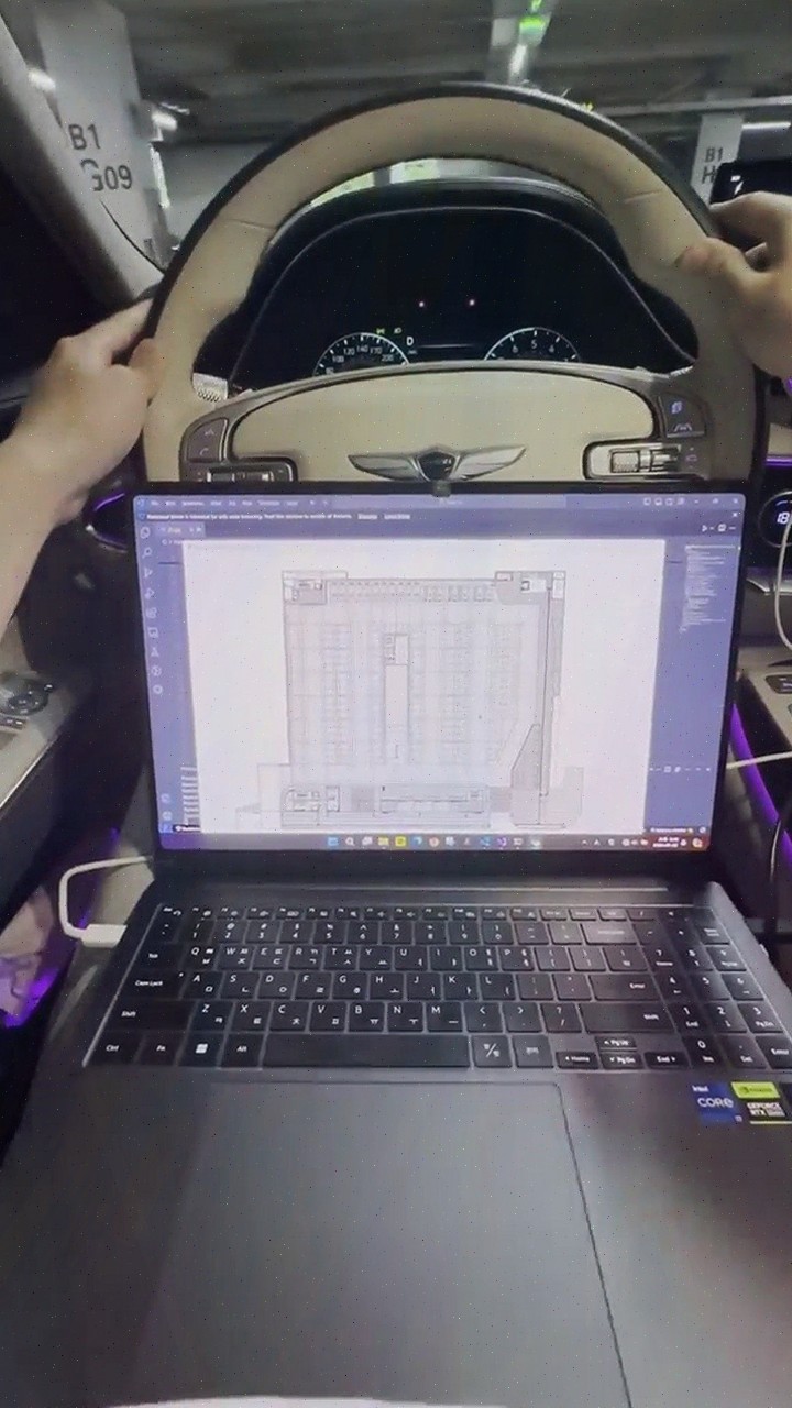
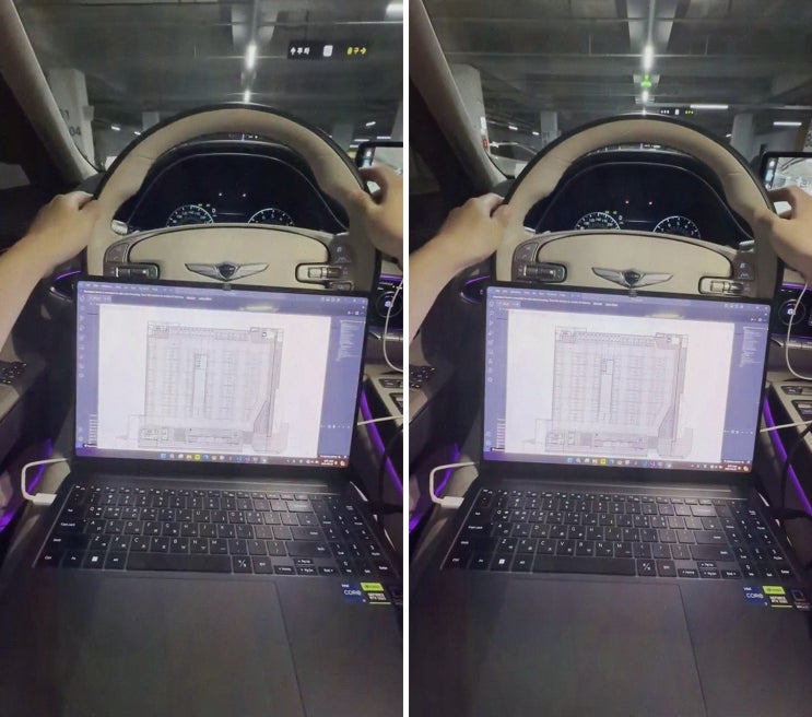
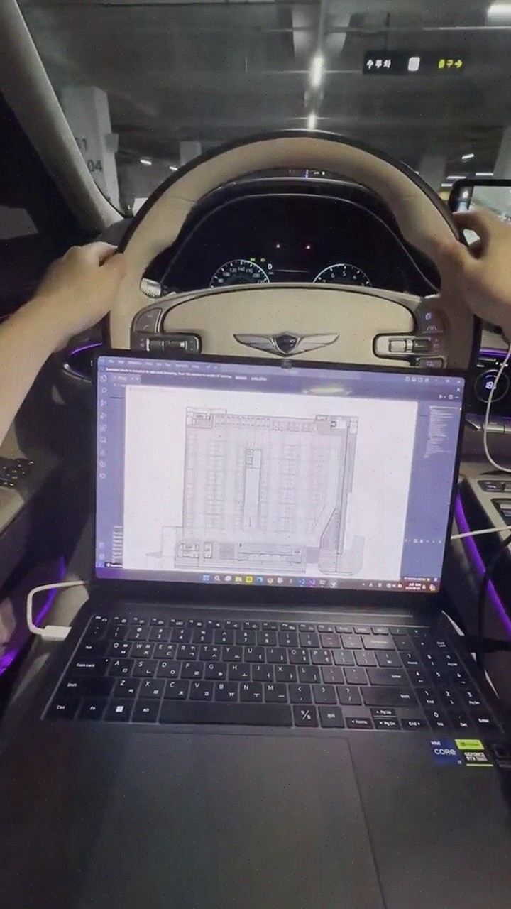
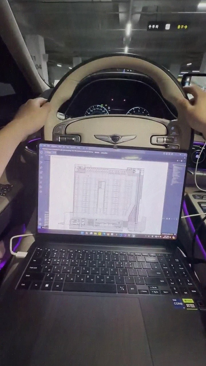
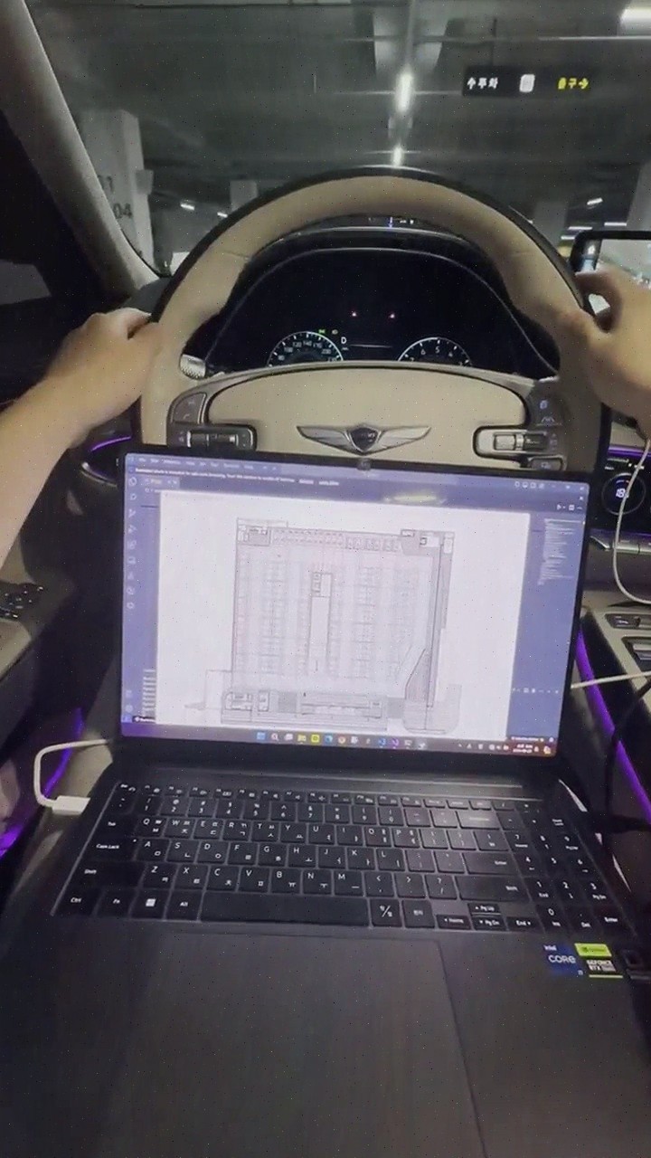
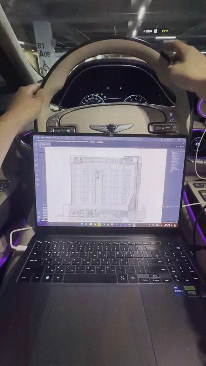
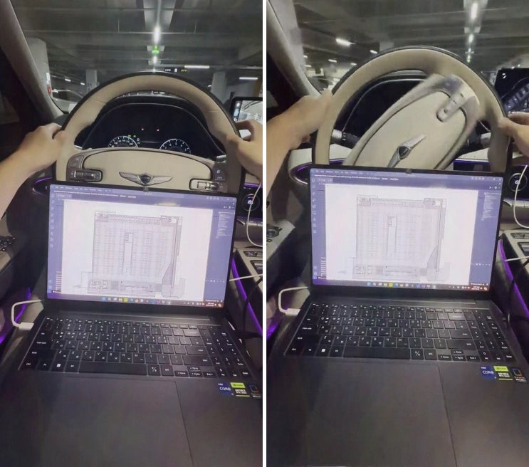
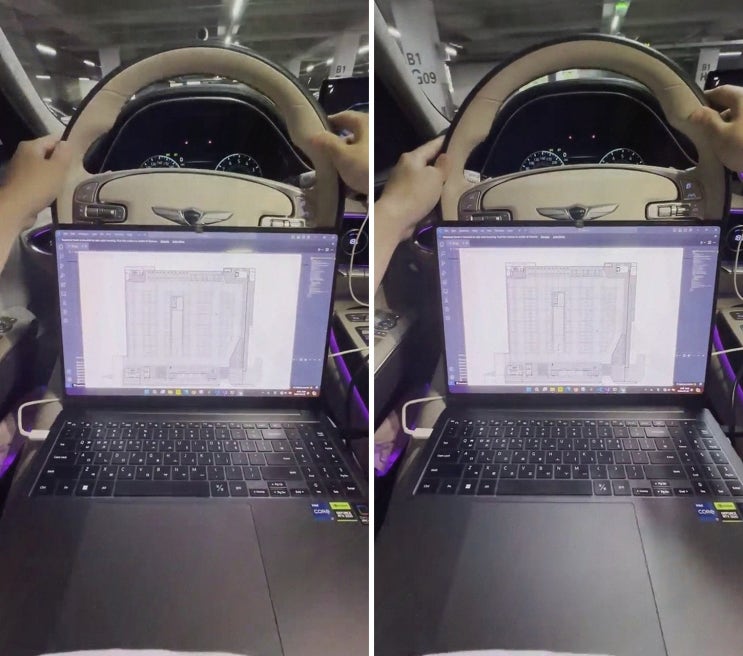
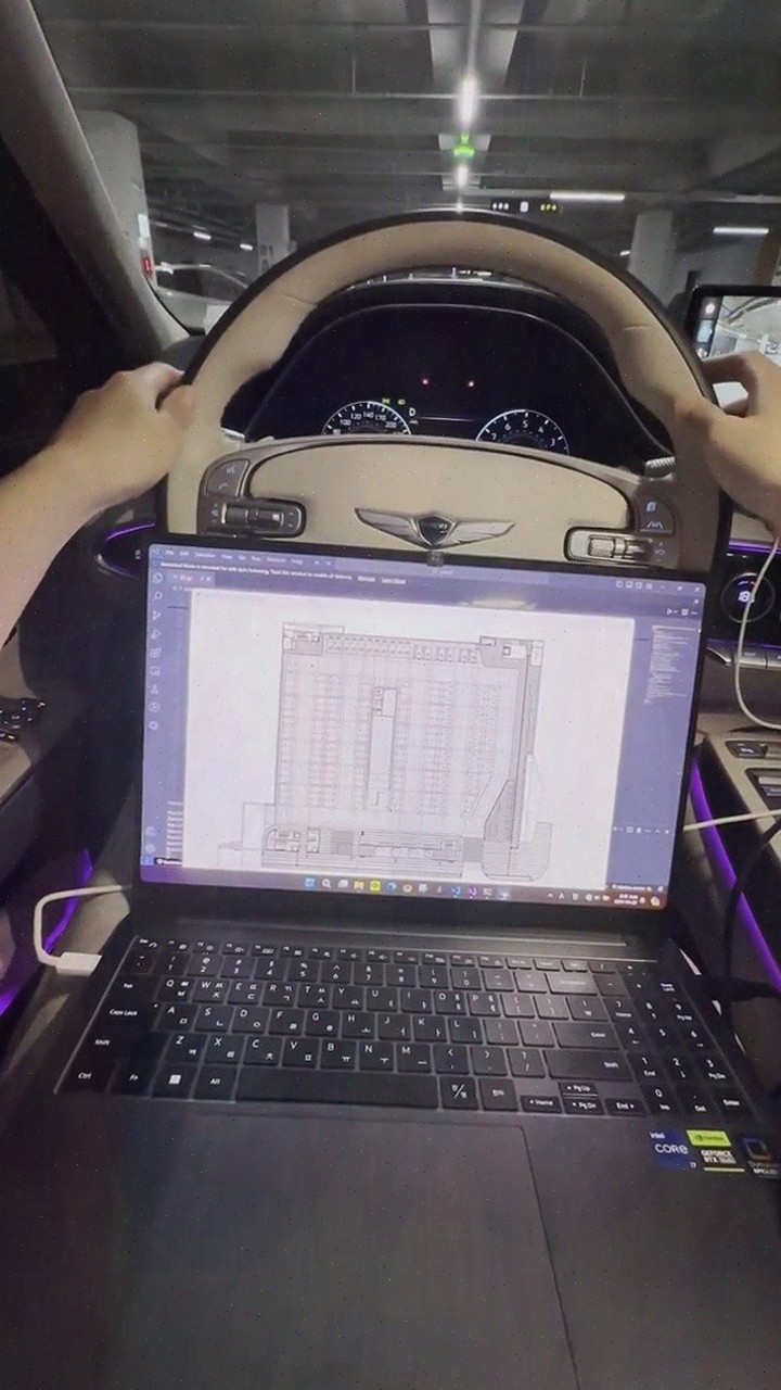
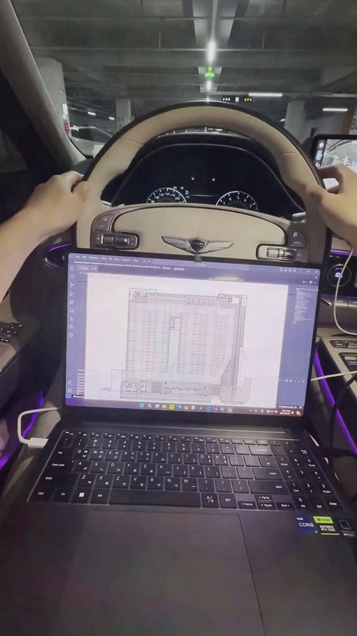
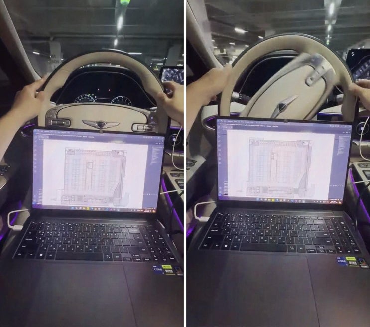
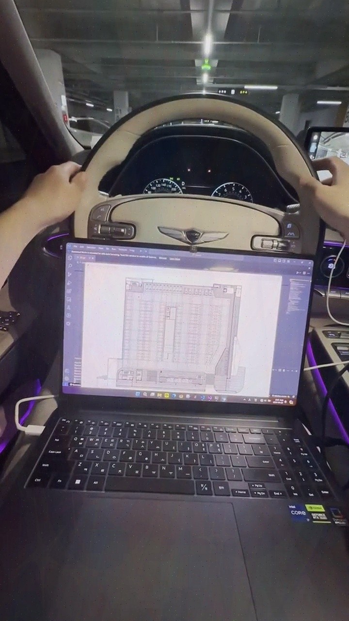
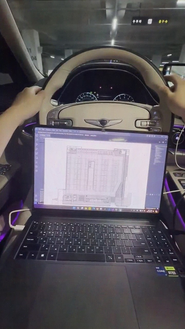
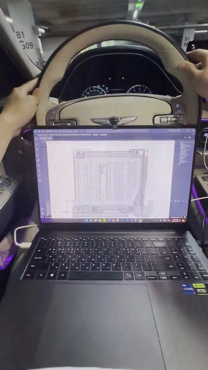
Jusikhoesa Jeuseuraepseu is a smart mobility solution company that provides stable location information even in GPS-denied areas based on AI precise positioning technology.
Highlights
- AI precise positioning technology ensures stable location even in GPS-denied areas (urban centers, underground, tunnels, etc.)
- Precise positioning is achieved using only standard vehicle data (CAN, IMU) without additional equipment, reducing cost burden
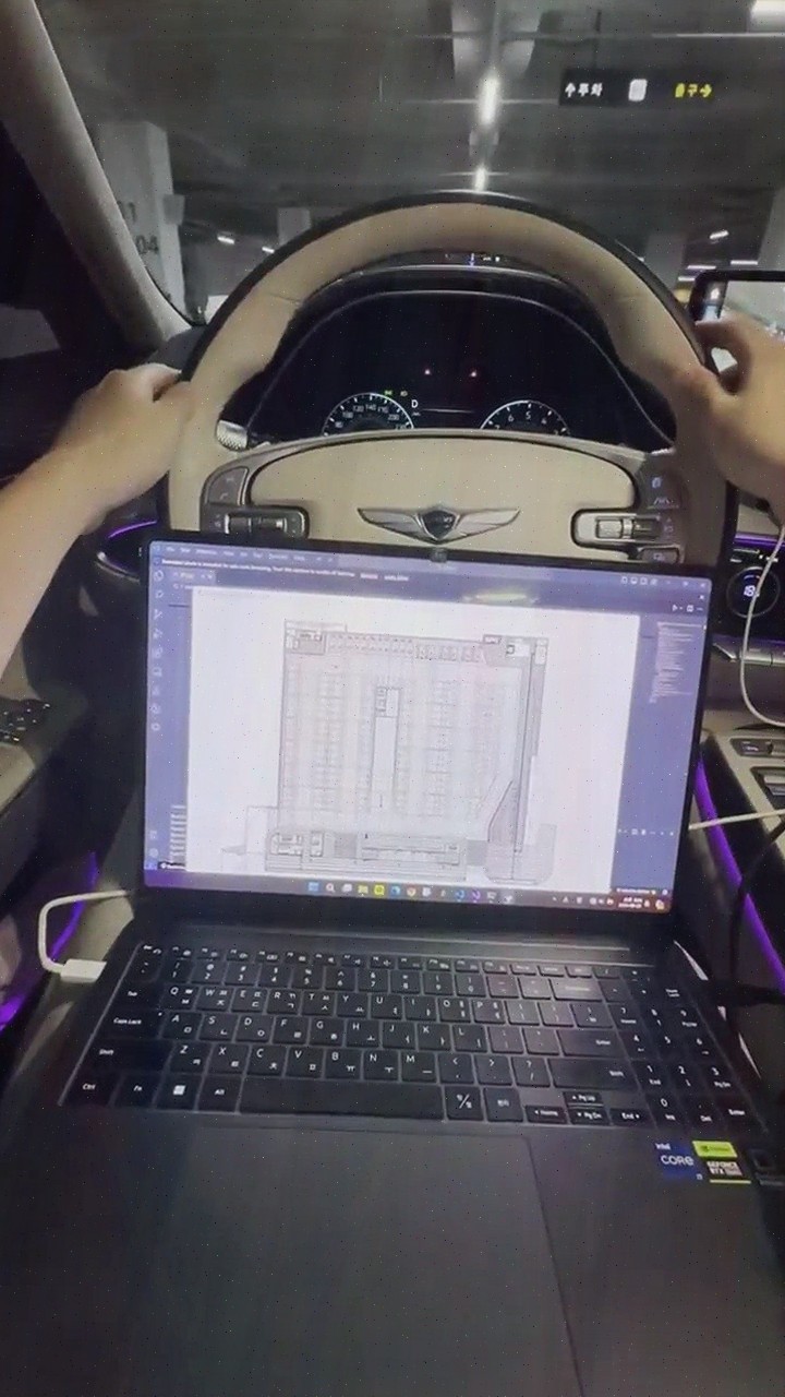
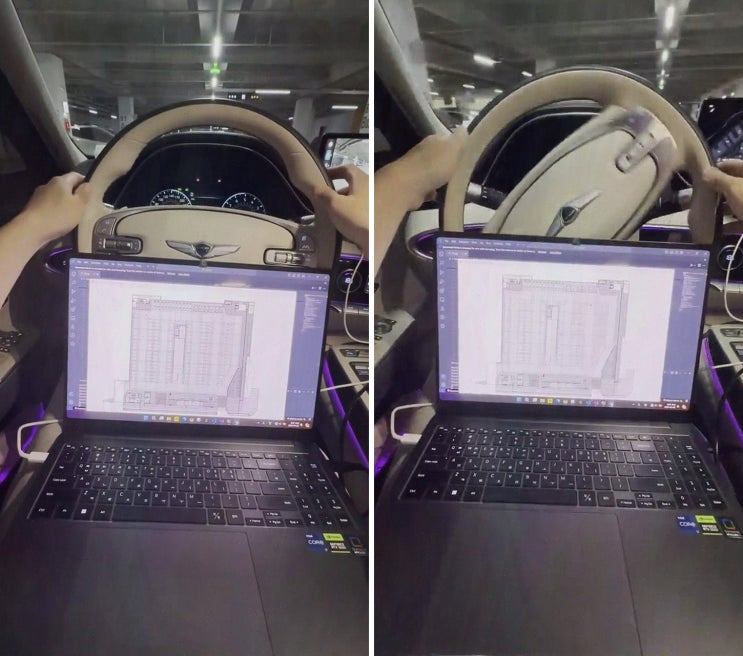
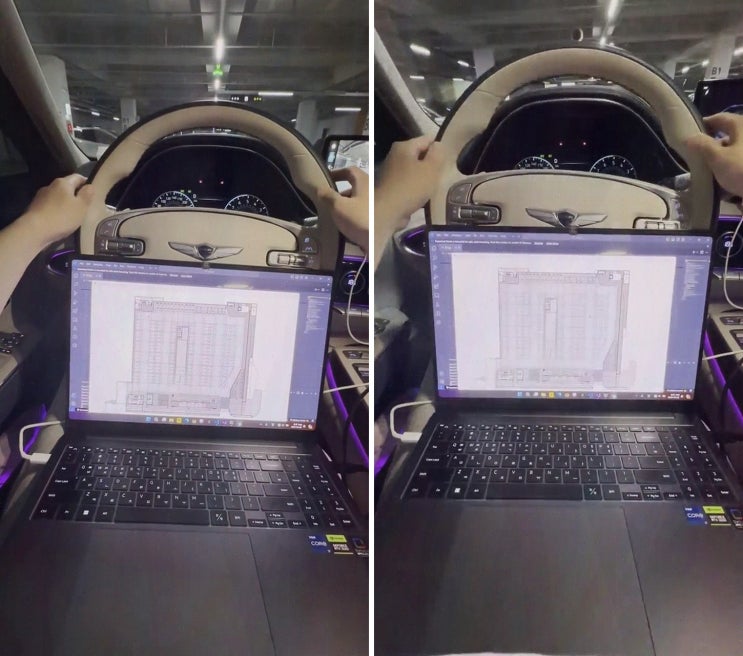
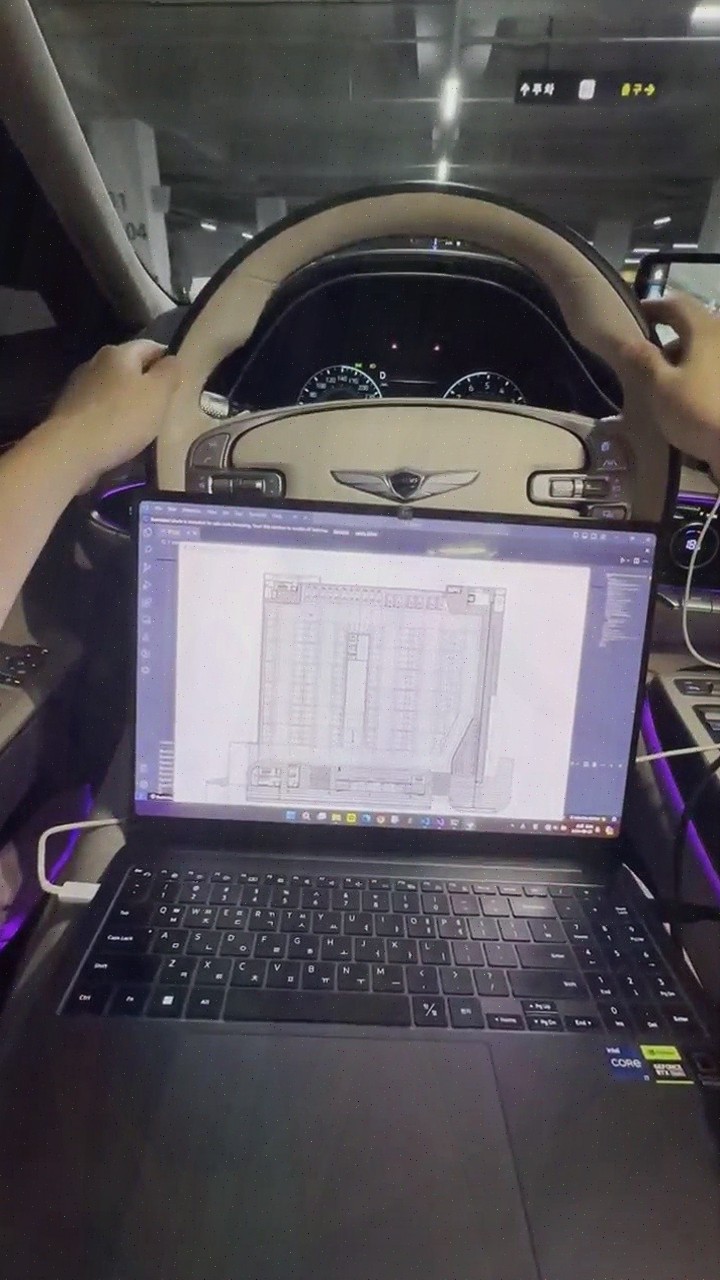
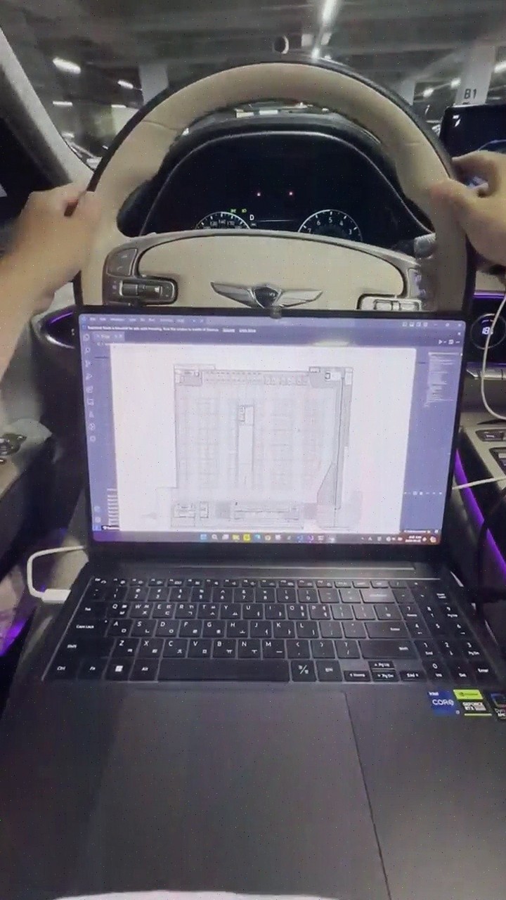
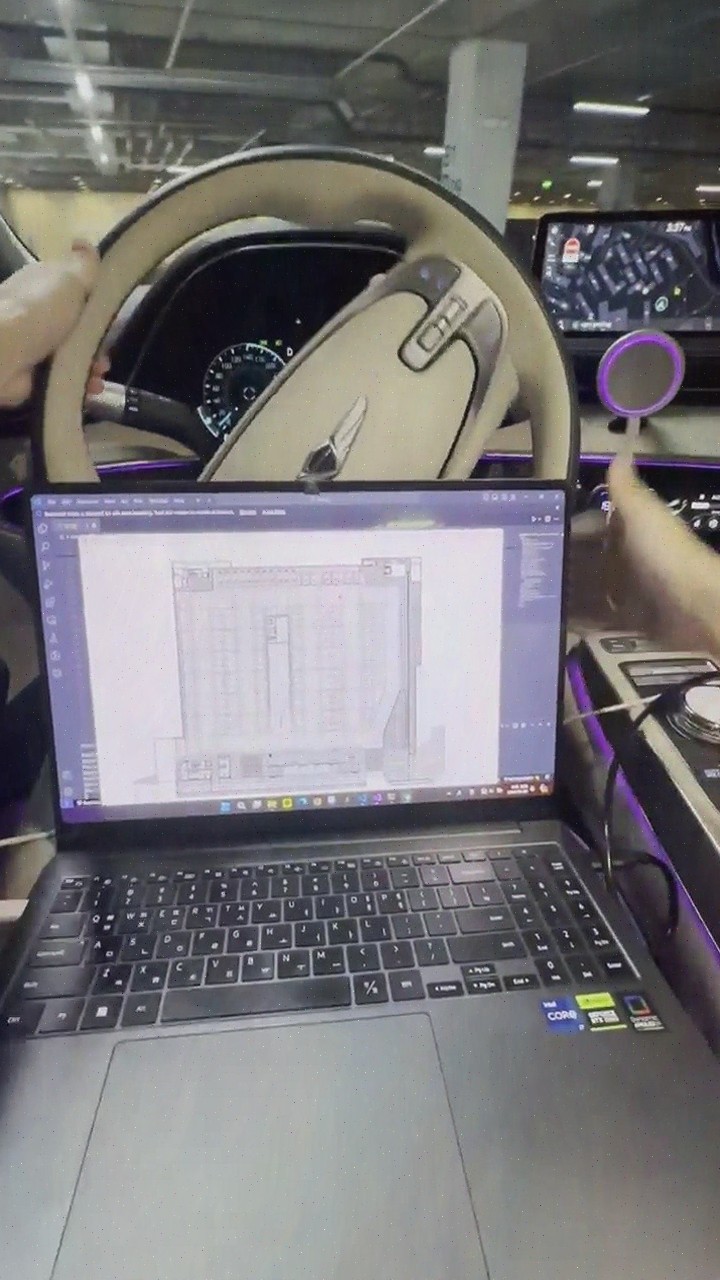
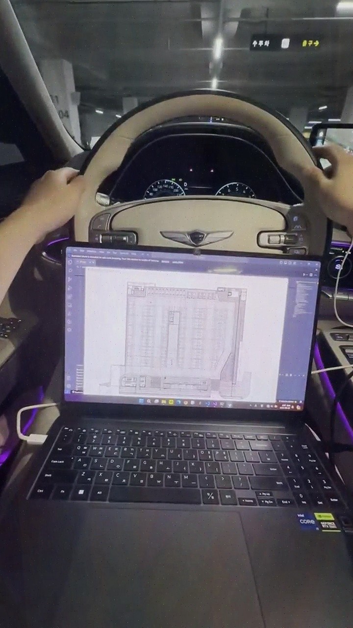
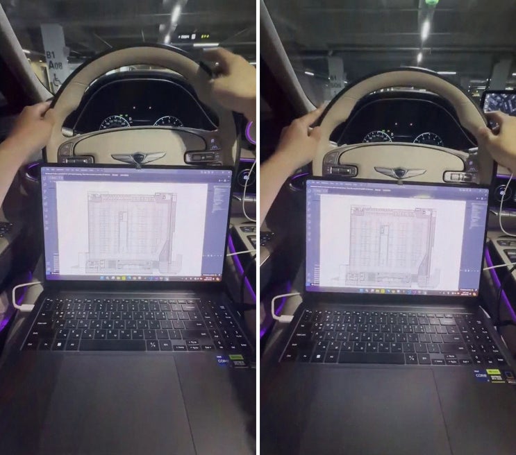
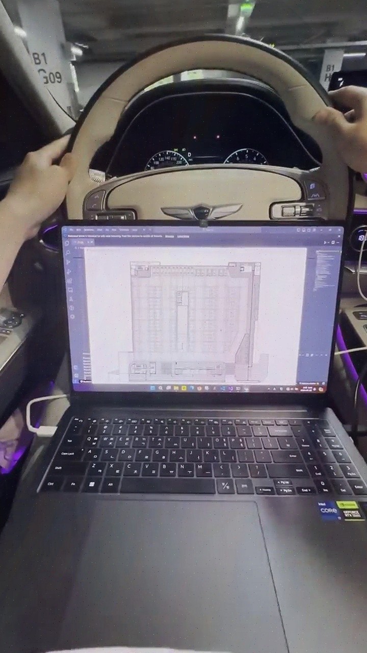
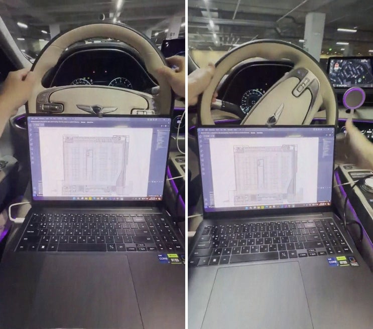
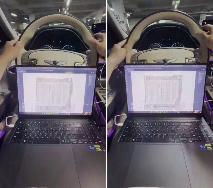
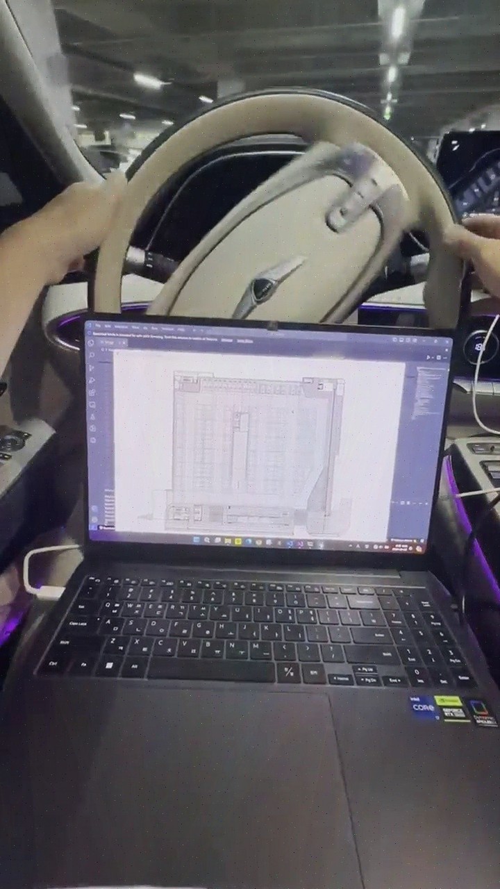
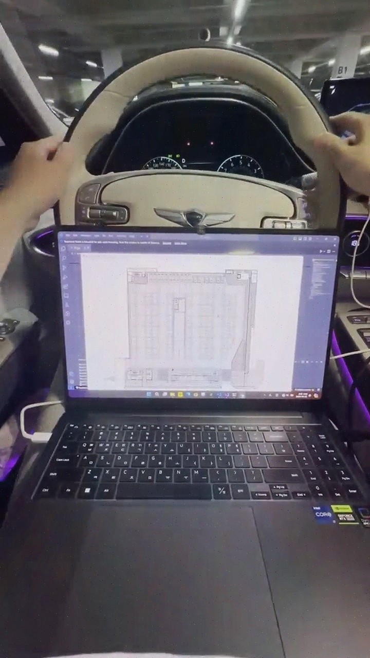
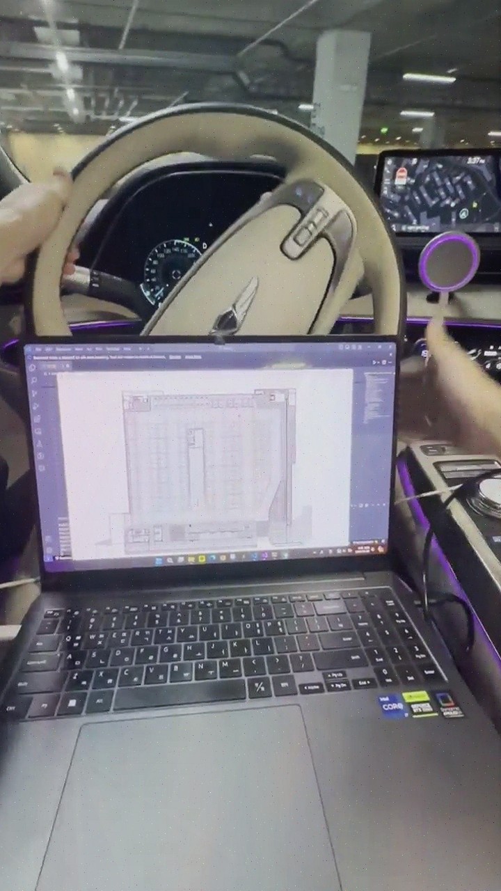
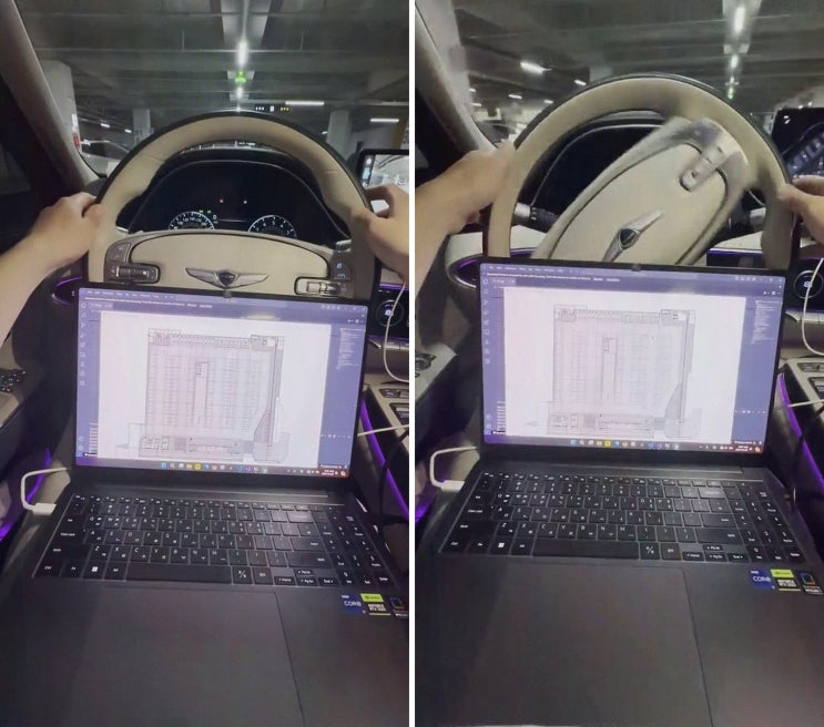
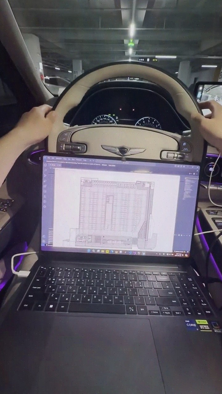
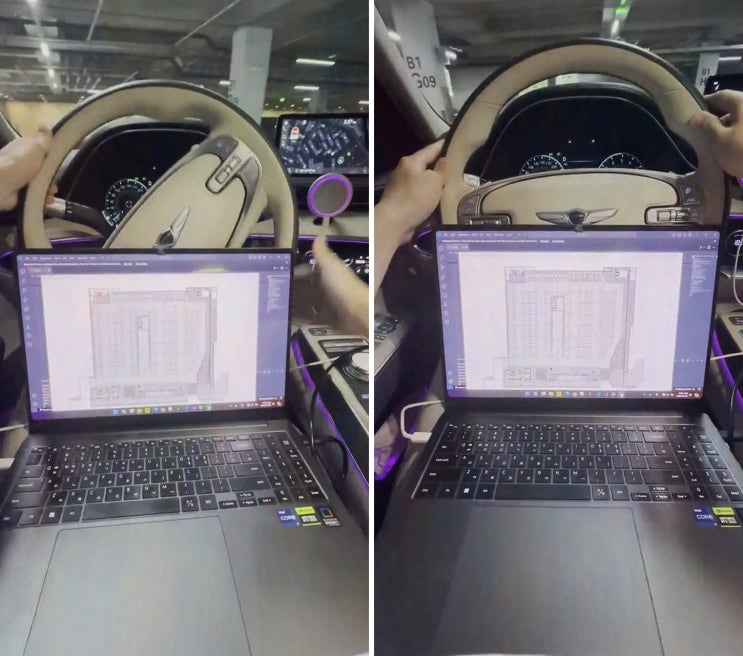
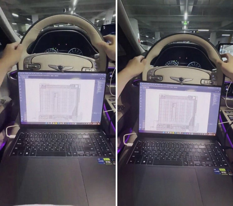
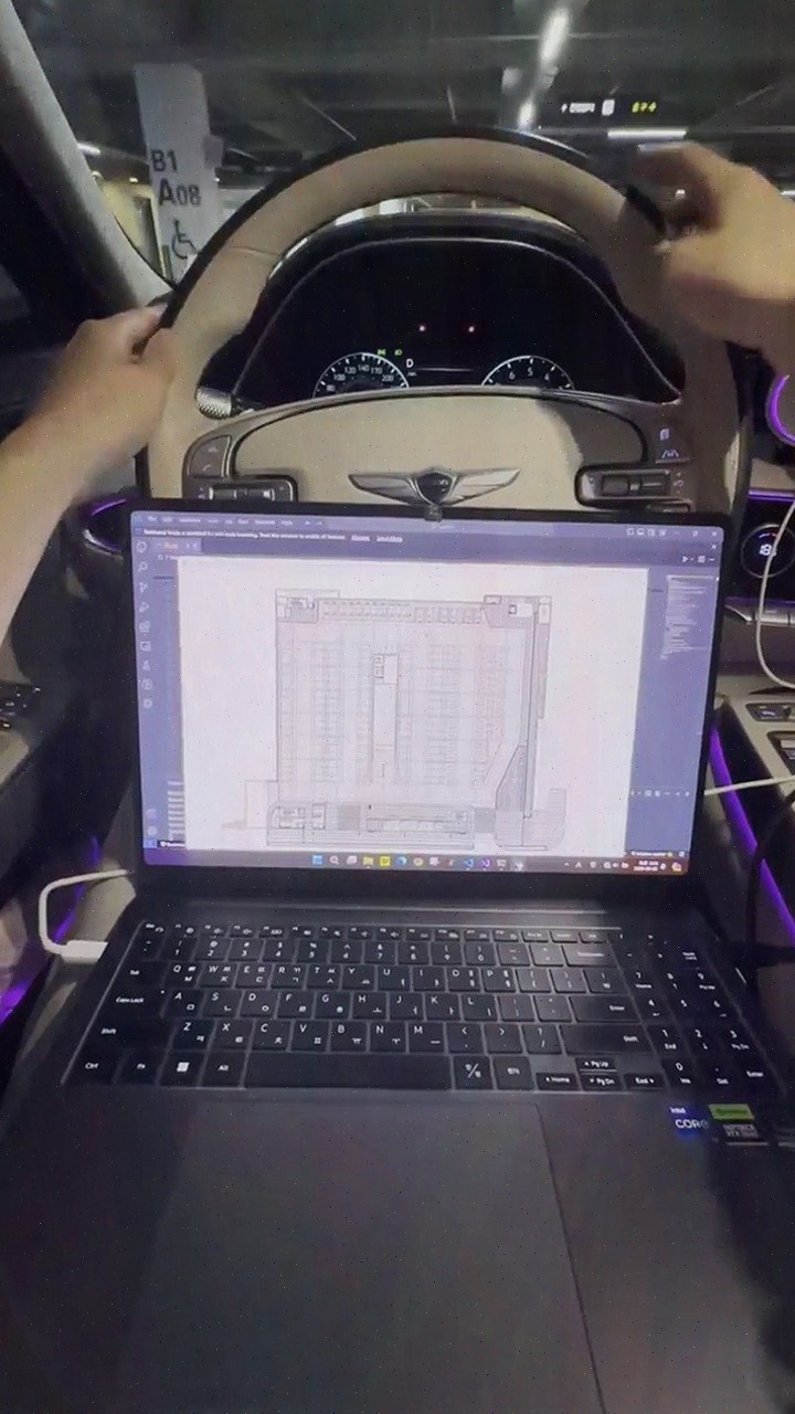
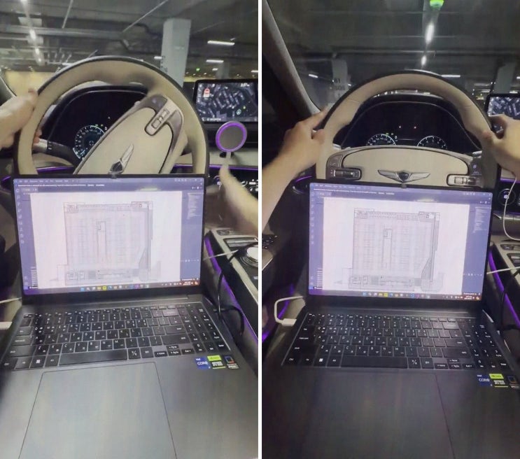
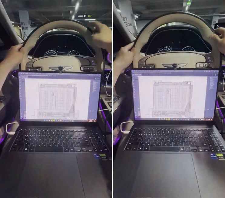
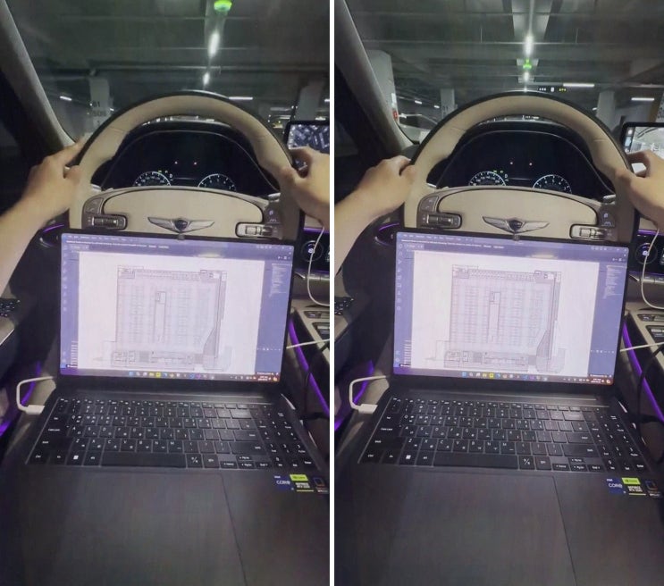
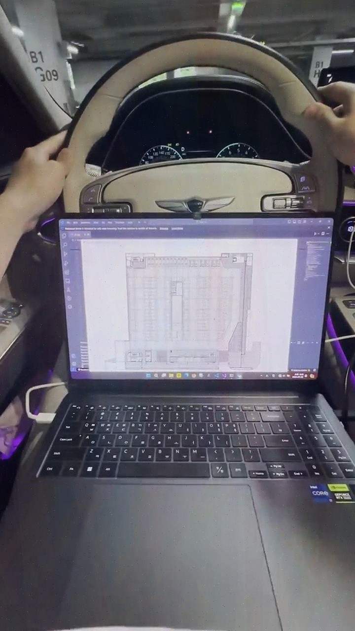
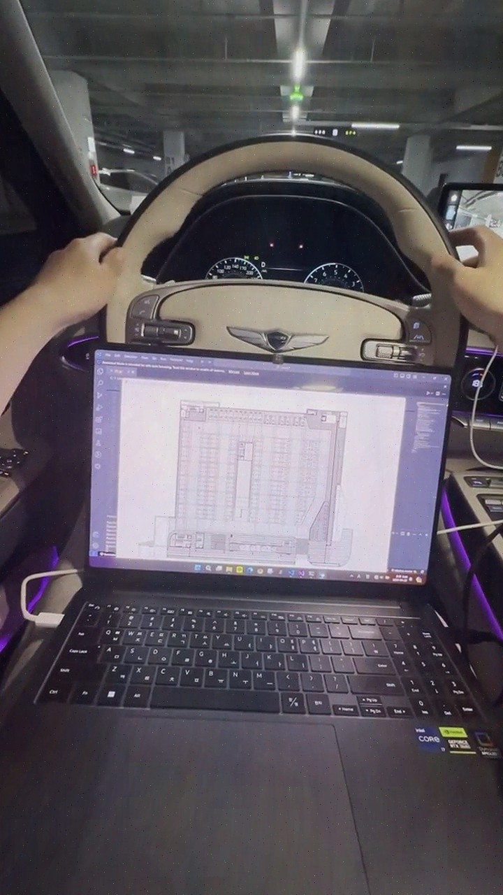
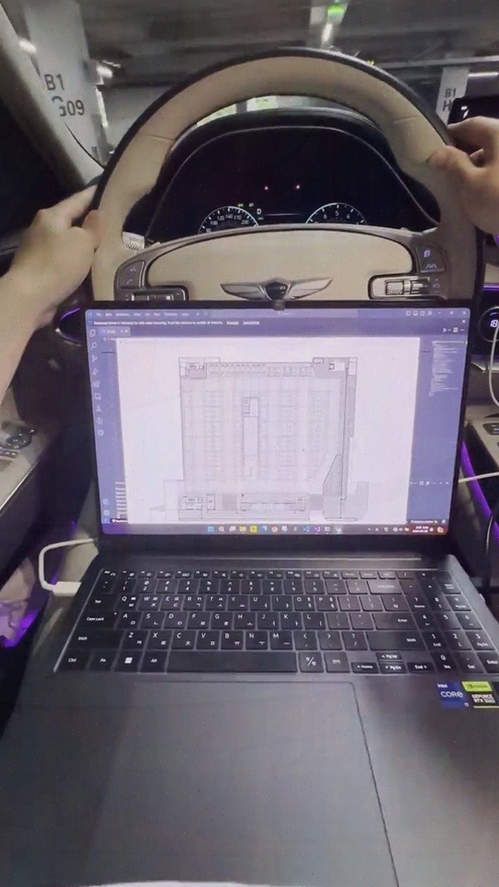
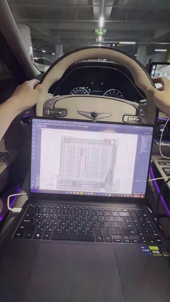
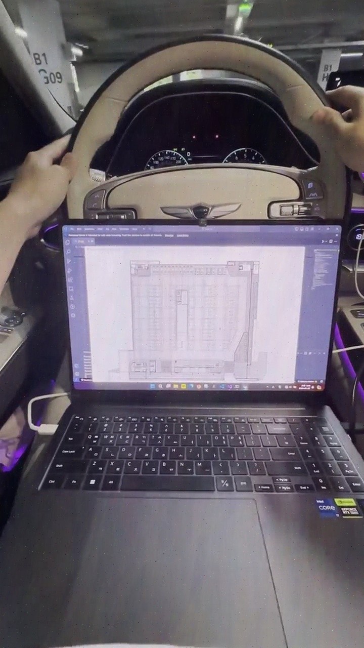
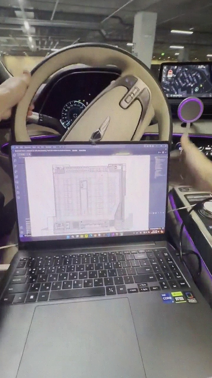
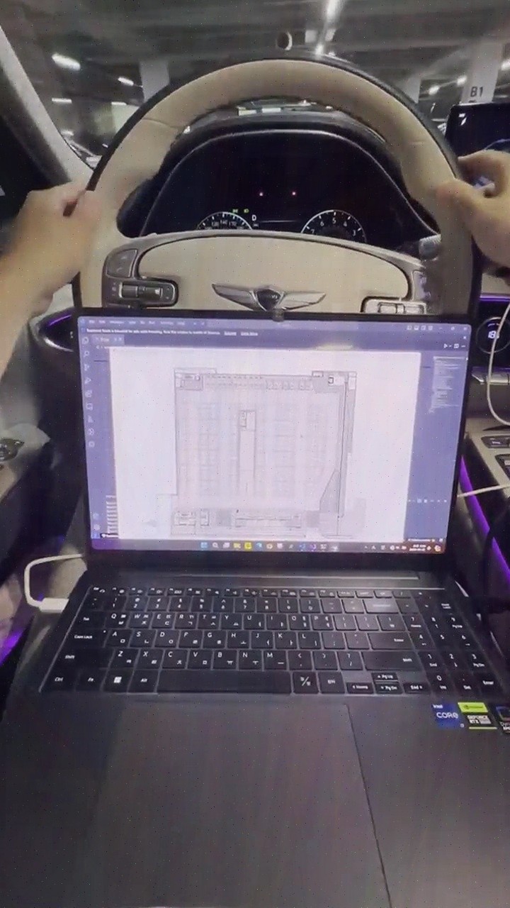
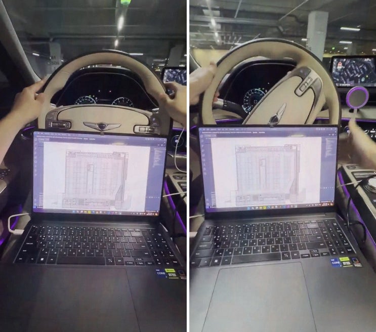
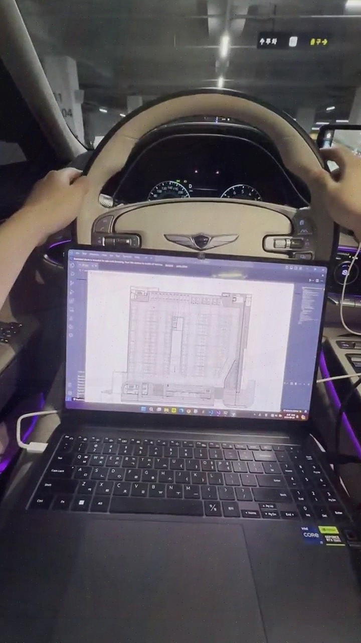
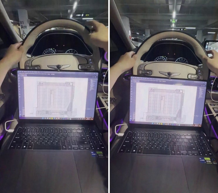
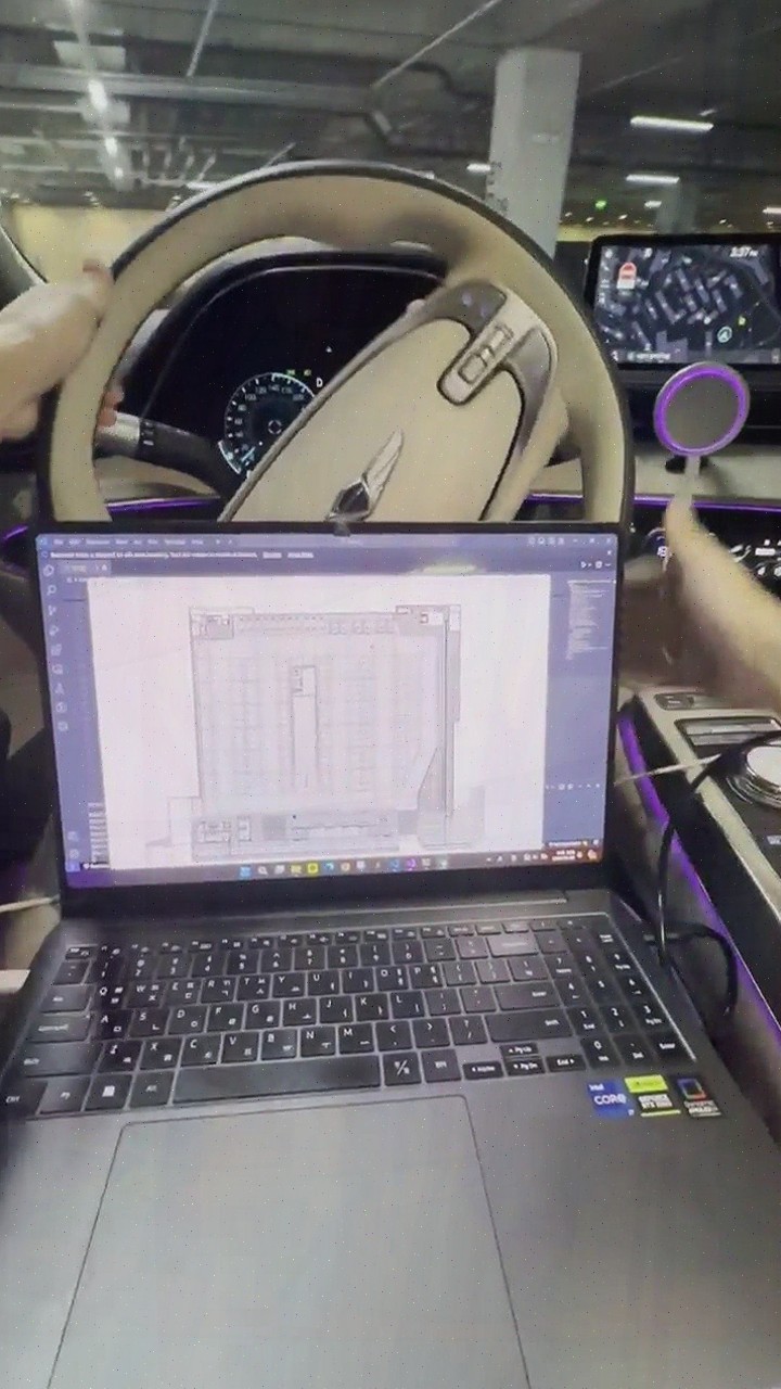
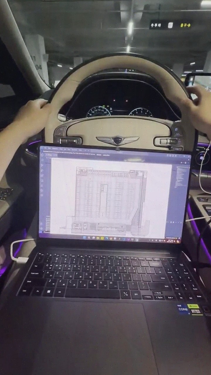
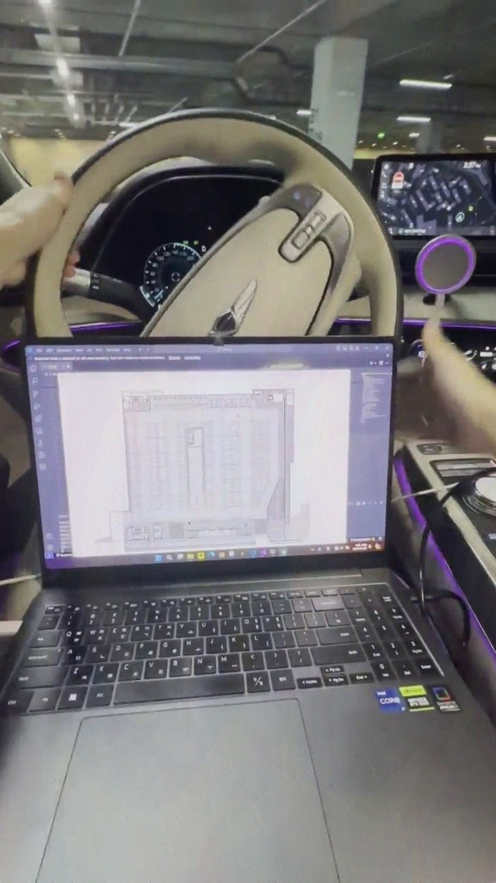
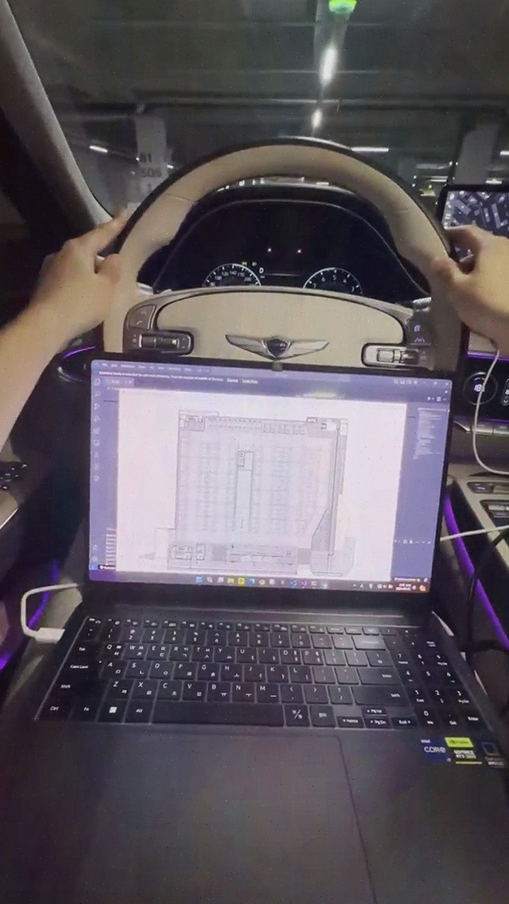
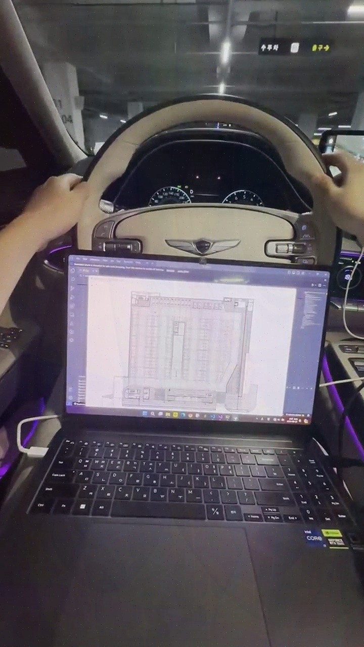
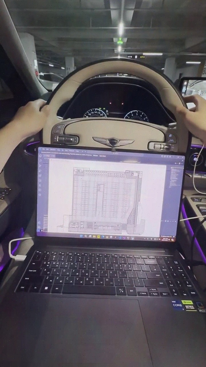
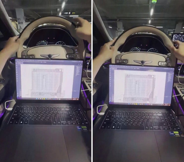
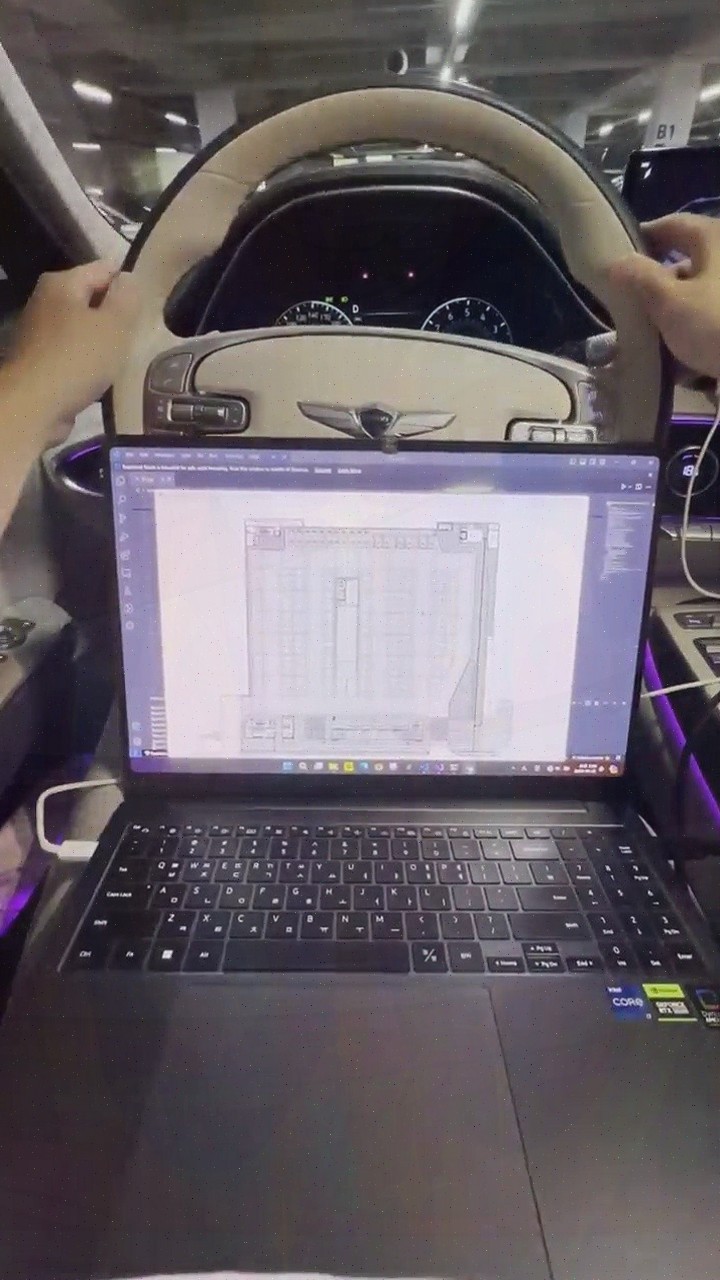
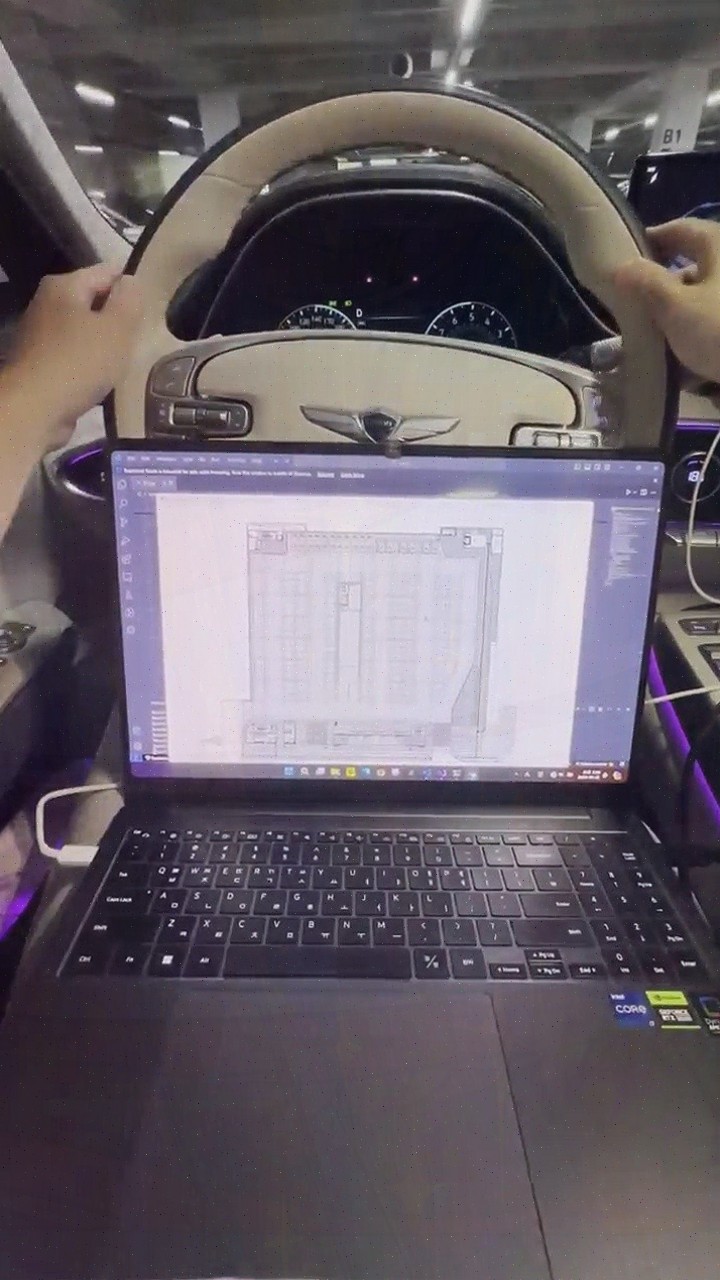
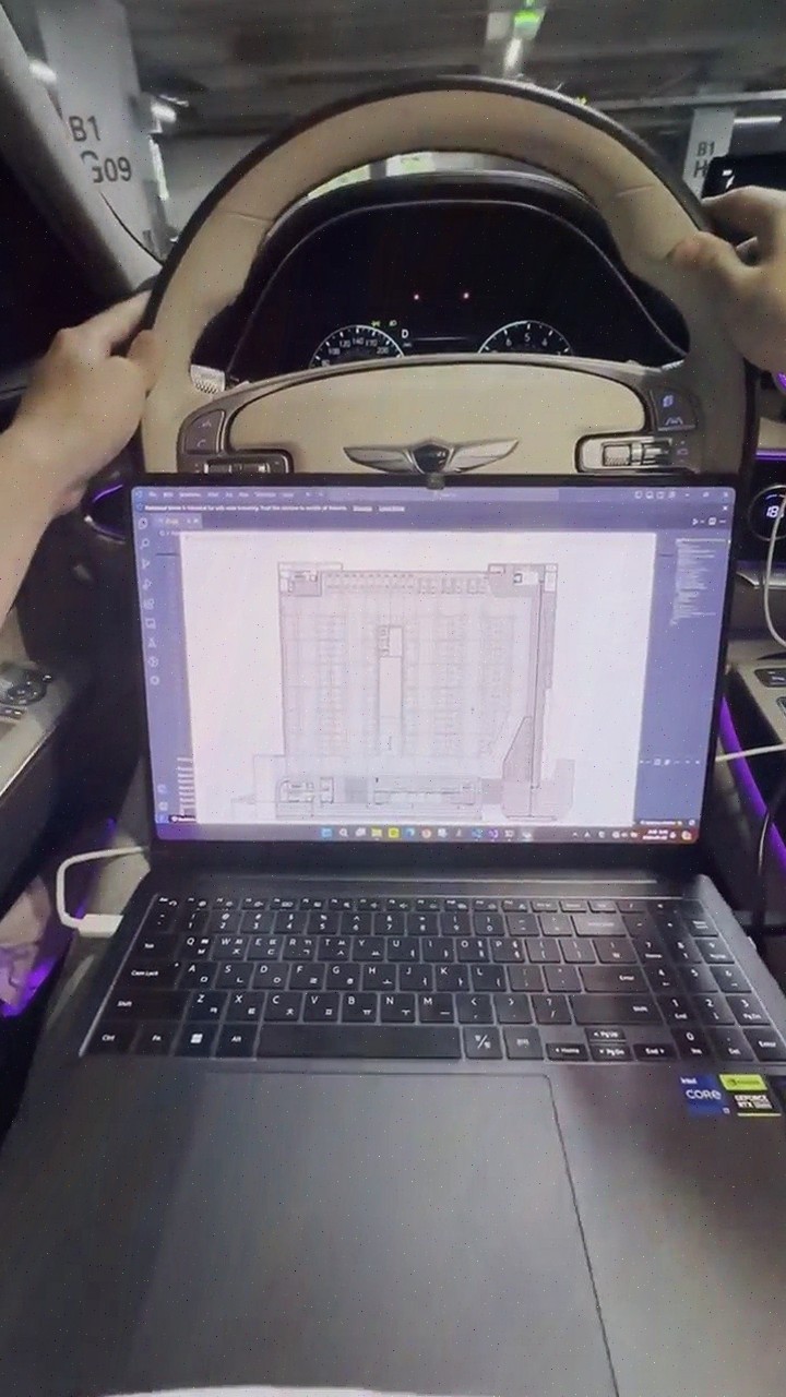
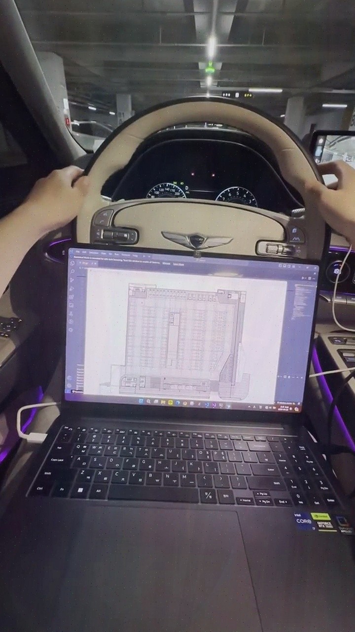
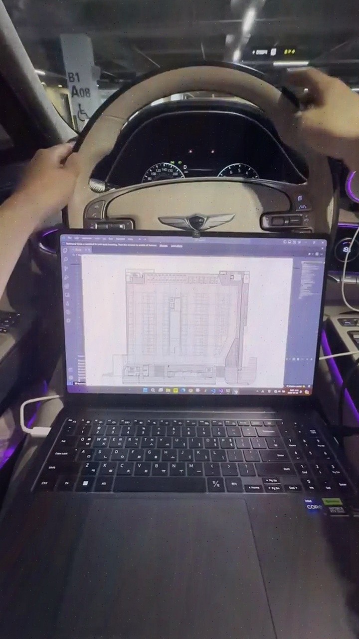
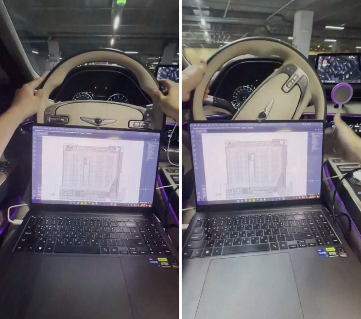
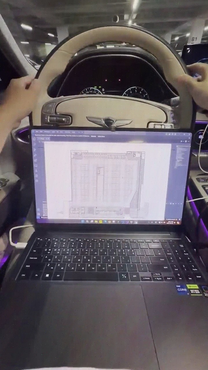
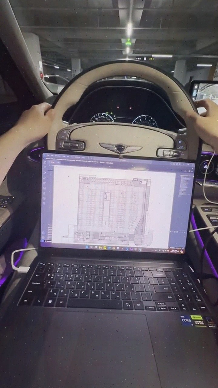
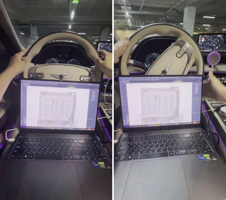
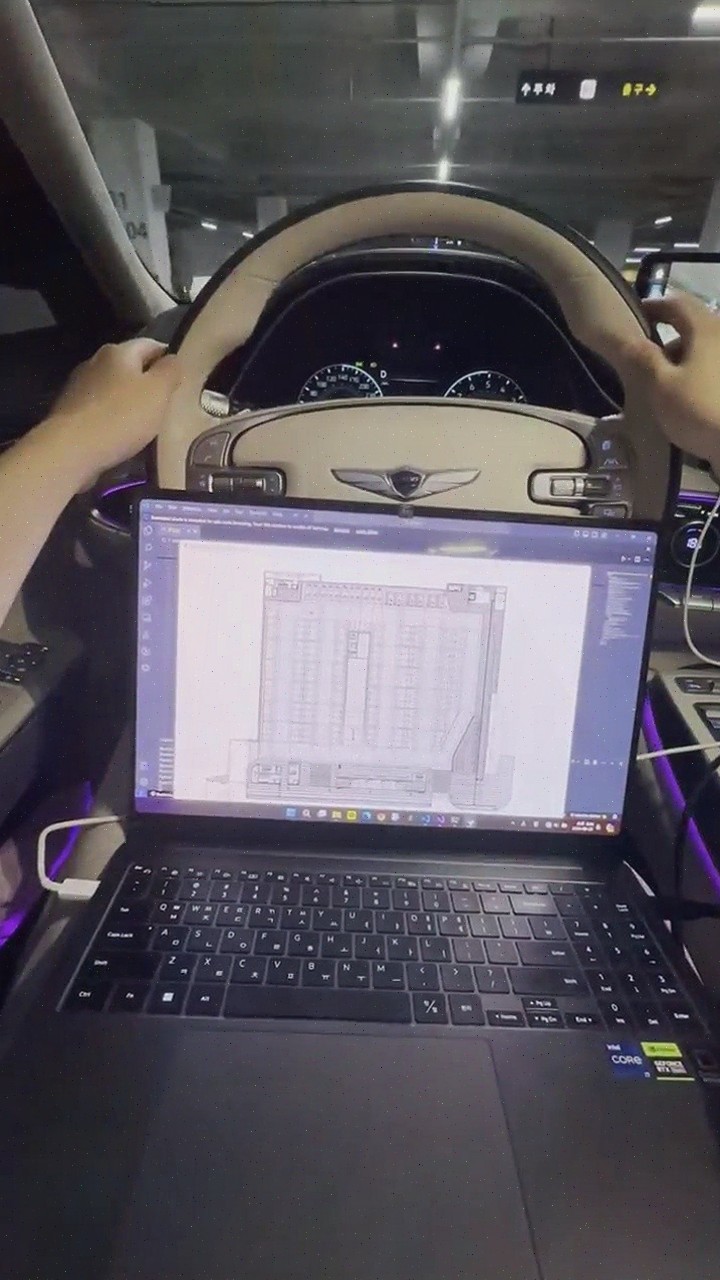
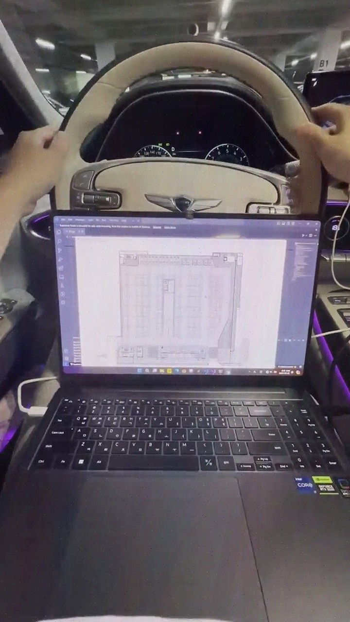
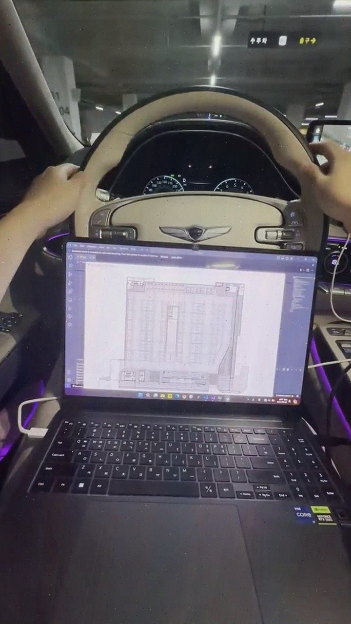
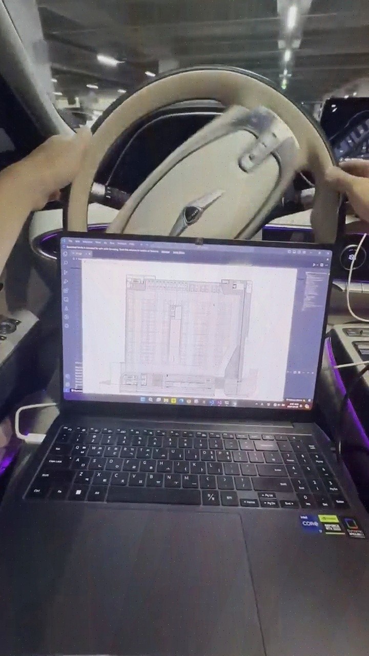
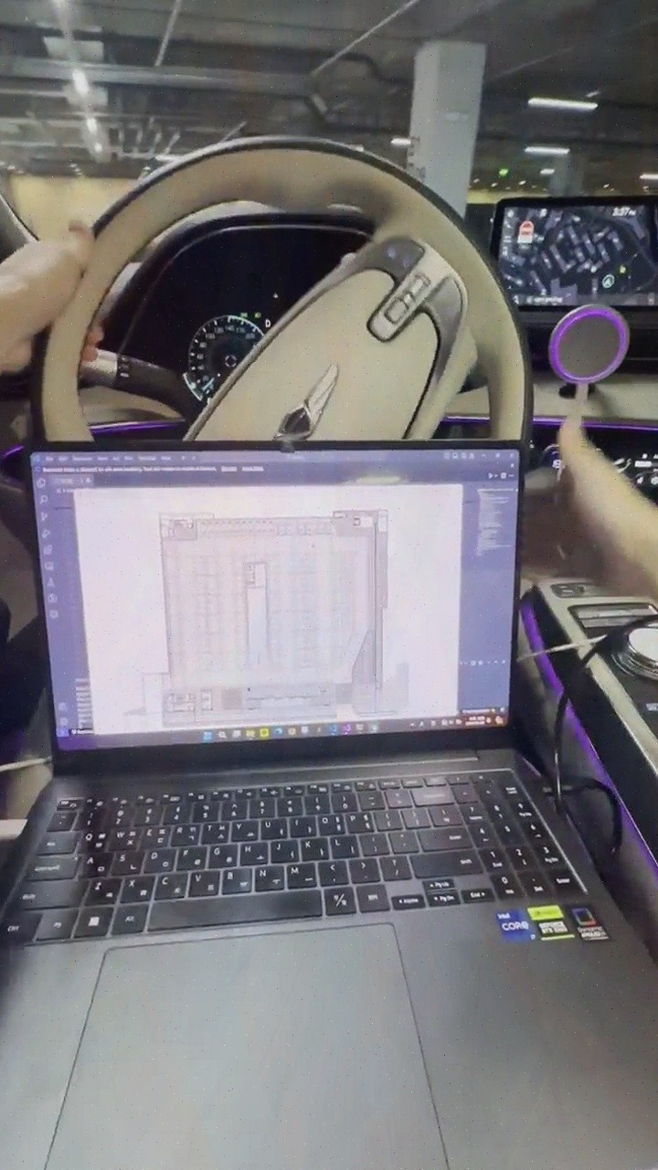
- AI-based map conversion and behavior-oriented labeling improve efficiency in precision map construction
- From parking guidance to lane-level navigation and automatic payment supported on a single platform
Key information
| AI Precise Positioning | Fuses and analyzes CAN data and IMU data using AI algorithms to precisely recognize vehicle location, providing stable location information even in GPS-denied areas.post |
|---|---|
| Key Technology | AI precise positioning, real-time driving information analysis, AI-based precision map construction, behavior-oriented labeling.post |
| Application Fields | Smart city, smart parking, autonomous driving, vehicle fleet management.post |
| Core Advantages | Precise positioning is achieved using only standard vehicle data without additional expensive sensors or infrastructure, reducing construction cost, time, and maintenance costs.post |
| Service Scope | Parking location guidance, empty space guidance, lane-level navigation, vehicle location tracking, driving safety services, automatic payment.post |
Frequently asked questions
Q. How do I use the parking location guidance?
Based on AI precise positioning, it accurately identifies the vehicle location and guides you to the parking spot and empty spaces. It works with only standard vehicle data without additional equipment.
Q. Is the location stable even in GPS-denied areas like underground parking lots or tunnels?
Yes, by fusing and analyzing CAN and IMU data with AI algorithms, it provides stable location information even when GPS signals are weak or lost.
Q. Doesn't precision map construction cost a lot?
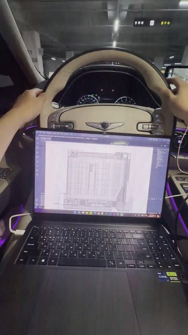
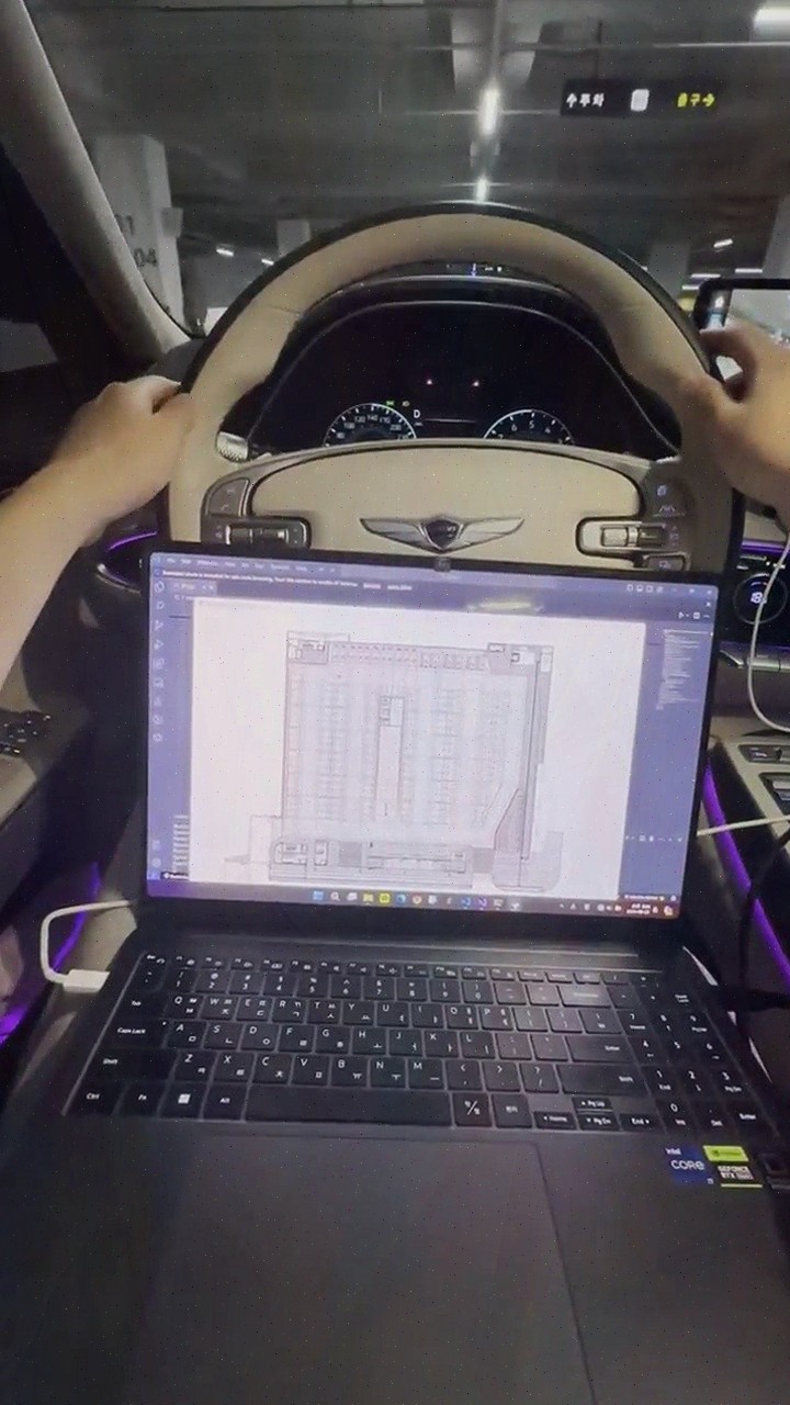
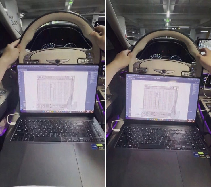
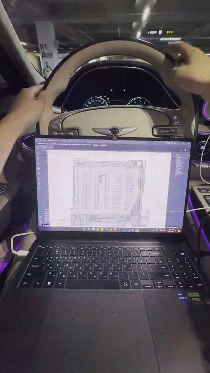
AI automatically recognizes building floor plans and converts them into navigation maps, and applies behavior-oriented labeling, reducing construction cost and time.
Q. Do I need to install expensive sensors on the vehicle?
No. Since precise positioning is possible with only standard data generated by the vehicle (CAN, IMU), there is no burden of purchasing additional equipment.
Q. Where can this be applied?
It can be applied to various mobility services such as smart city, smart parking, autonomous driving, and vehicle fleet management, and one platform supports multiple functions.
Based on the text description, no technical details or verified performance data are included.