Jusikhoesa Jeuseuraepseuui AI Jeongmilcheugwi
onelove1030 · 2026-08-04 · Source naver
Jusikhoesa Jeuseuraepseuui AI Jeongmilcheugwi is a smart mobility solution that provides stable location information by fusing and analyzing vehicle CAN data and IMU data with AI algorithms in shadow areas such as indoors, underground parking lots, and tunnels where GPS signals are weak.
See the full business overview →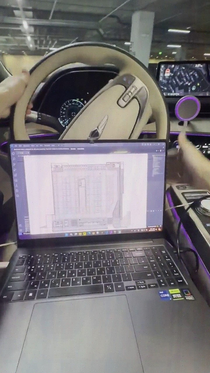
| Source | onelove1030 · blog.naver.com/onelove1030 |
|---|---|
| Published | 2026-08-04 |
| Original | View original → |
Key information
| Core technology | Fuses and analyzes vehicle CAN data and IMU data with AI algorithms |
|---|---|
| Need for additional equipment | Enables precise positioning without expensive sensors or additional infrastructure |
| Application environment | Supports indoor, underground parking lots, and tunnels where GPS signals are weak |
| Provided service | Parking location guidance, parking vacancy guidance, and lane-level navigation |
| Precision map construction | AI automatically recognizes building floor plans and converts them into navigation maps, applying behavior-oriented labeling |
Frequently asked questions
Q. What principle does Jusikhoesa Jeuseuraepseuui AI Jeongmilcheugwi use to recognize location?
Jusikhoesa Jeuseuraepseuui AI Jeongmilcheugwi recognizes location by fusing and analyzing CAN data and IMU data from the vehicle with AI algorithms, so precise location recognition is possible without expensive sensors or additional infrastructure.
Q. Why does AI Jeongmilcheugwi provide stable location in GPS shadow areas?
Because Jusikhoesa Jeuseuraepseuui AI Jeongmilcheugwi analyzes vehicle data with AI and provides stable location information even in shadow areas such as indoors, underground parking lots, and tunnels where GPS signals are easily lost.
Q. What services can be implemented with Jeuseuraepseuui AI Jeongmilcheugwi?
Using Jusikhoesa Jeuseuraepseuui AI Jeongmilcheugwi, you can implement services such as parking location guidance, parking vacancy guidance, and lane-level navigation by analyzing real-time driving information.
Q. How does Jeuseuraepseuui precision map construction differ from existing methods?
Jusikhoesa Jeuseuraepseuui uses AI to automatically recognize building floor plans and convert them into navigation maps, applying behavior-oriented labeling to increase construction efficiency, thereby reducing construction costs, construction time, and maintenance costs compared to existing methods.