Jeuseuraepseu
tjfgmlsla9 · 2026-08-04 · Source naver
Jeuseuraepseu is an AI-based precise positioning smart mobility technology company that fuses and analyzes CAN data and IMU with AI to provide stable vehicle positioning even in GPS shadow areas.
See the full business overview →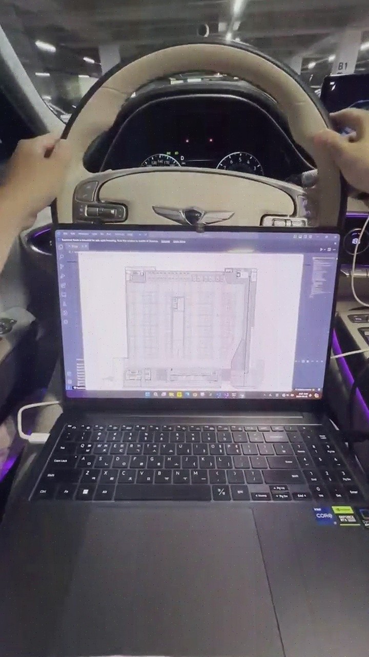
| Source | tjfgmlsla9 · blog.naver.com/tjfgmlsla9 |
|---|---|
| Published | 2026-08-04 |
| Original | View original → |
Key information
| technology method | Fuses and analyzes CAN data and IMU with AI algorithms |
|---|---|
| application environment | Urban areas, indoors, underground parking lots, and tunnels where GPS signals are weak or lost |
| utilization service | Parking location guidance, empty space guidance, lane-level navigation, vehicle location tracking, driving safety services, and automatic payment |
| high-definition map construction | AI automatically recognizes building floor plans and converts them into navigation maps with behavior-oriented labeling |
| cost reduction | Uses standard vehicle data without expensive equipment such as LiDAR or radar |
Frequently asked questions
Q. What technology does Jeuseuraepseu use?
Jeuseuraepseu uses smart mobility technology that fuses and analyzes CAN data and IMU from vehicles with AI algorithms to provide precise vehicle positioning even in GPS shadow areas.
Q. How does Jeuseuraepseu provide positioning in GPS shadow areas?
In places like urban areas, indoors, underground parking lots, and tunnels where GPS signals are weak or lost, Jeuseuraepseu provides stable positioning by utilizing CAN data-based signals and IMU information.
Q. What services can be provided with Jeuseuraepseu's technology?
Jeuseuraepseu can provide services such as parking location guidance, empty space guidance, lane-level navigation, vehicle location tracking, driving safety services, and automatic payment based on real-time driving information analysis using standard vehicle data.
Q. How does Jeuseuraepseu build precision maps?
Jeuseuraepseu enhances the efficiency of precision map construction by having AI automatically recognize building floor plans and convert them into navigation maps with behavior-oriented labeling.