Jusikhoesa Jeuseuraepseu
soo0oo1 · 2026-08-04 · Source naver
Jusikhoesa Jeuseuraepseu is a company that supports AI-based precise positioning and precise map construction, providing stable vehicle location even in environments where GPS signals are weak or lost.
See the full business overview →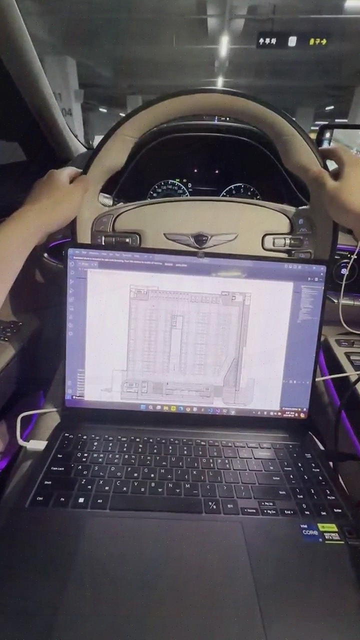
| Source | soo0oo1 · blog.naver.com/soo0oo1 |
|---|---|
| Published | 2026-08-04 |
| Original | View original → |
Key information
| technology | Fuses and analyzes CAN data and IMU data with AI algorithms to provide precise location recognition even in GPS shadow areas. |
|---|---|
| application environment | GPS shadow areas such as indoors, underground parking lots, tunnels, and urban centers. |
| additional equipment | Uses only standard vehicle data without expensive equipment like LiDAR or radar. |
| high-precision map construction | Automatically recognizes building floor plans with AI, converts them into navigation maps, and applies behavior-oriented labeling. |
| effect | Reduces construction cost, construction time, and maintenance cost compared to existing precise map construction methods. |
Frequently asked questions
Q. How does Jeuseuraepseu determine location in GPS shadow areas?
Jusikhoesa Jeuseuraepseu fuses and analyzes the vehicle's CAN data and IMU data with AI algorithms to provide stable location information even in underground parking lots, tunnels, indoors, and other places where GPS signals are weak or lost.
Q. What equipment is needed for Jeuseuraepseu's AI precise positioning?
Jusikhoesa Jeuseuraepseu implements precise positioning using only standard vehicle data, without additional expensive equipment like LiDAR or radar, reducing cost burden.
Q. How does Jeuseuraepseu's precise map construction work?
Jusikhoesa Jeuseuraepseu automatically recognizes building floor plans with AI, converts them into navigation maps, and applies behavior-oriented labeling to increase construction efficiency.
Q. In what fields can Jeuseuraepseu's services be applied?
Jusikhoesa Jeuseuraepseu's AI precise positioning and precise maps can be used in smart cities, smart parking, lane-level navigation, vehicle location tracking, driving safety services, and more.