Jusikhoesa Jeuseuraepseu
ddongyyiyam · 2026-08-04 · Source naver
Jusikhoesa Jeuseuraepseu is an AI-powered precise positioning technology company that provides stable location information even in urban areas, indoors, underground parking lots, and tunnels where GPS signals are weak or lost.
See the full business overview →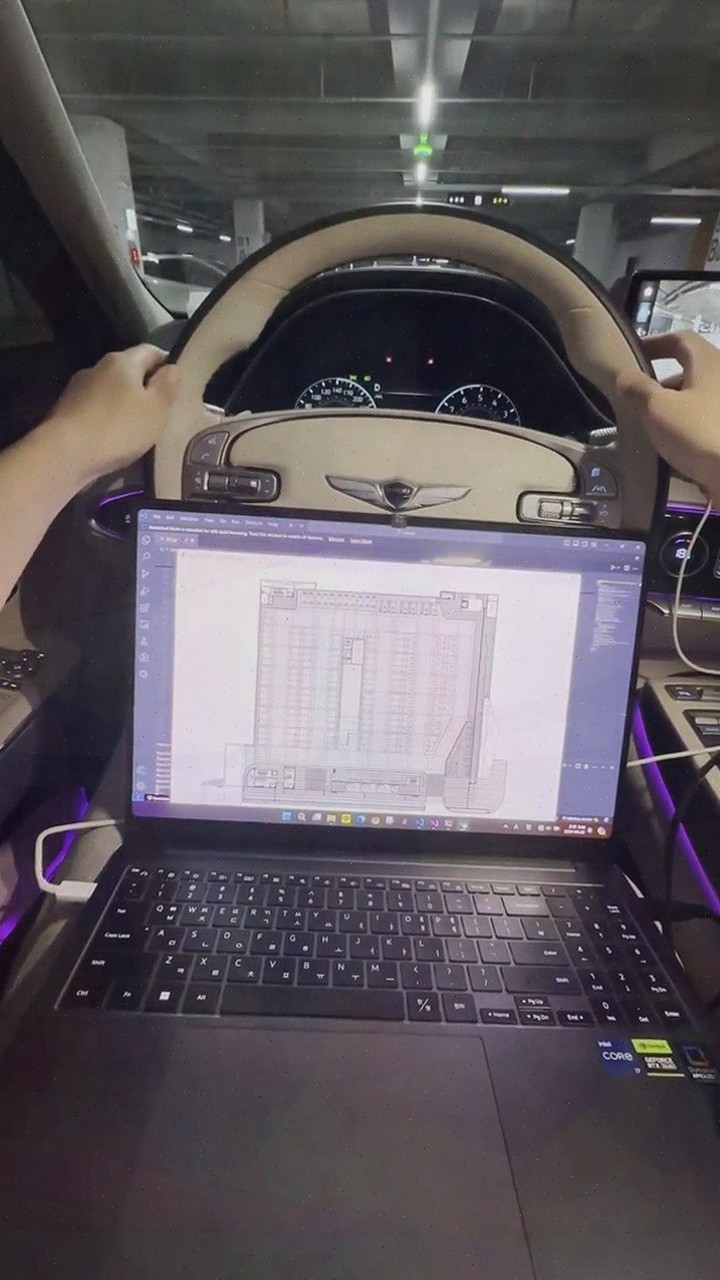
| Source | ddongyyiyam · blog.naver.com/ddongyyiyam |
|---|---|
| Published | 2026-08-04 |
| Original | View original → |
Key information
| technology | Fuses and analyzes CAN and IMU data using AI algorithms to support precise location recognition |
|---|---|
| Features | Implements precise positioning using only standard vehicle data without expensive sensors or additional infrastructure |
| provided services | Parking location guidance, parking space availability, lane-level navigation, vehicle tracking, driving safety services, and automatic payment |
| map construction | AI automatically recognizes building floor plans and converts them into navigation maps, with behavior-oriented labeling to improve construction efficiency |
Frequently asked questions
Q. What kind of company is Jusikhoesa Jeuseuraepseu?
Jusikhoesa Jeuseuraepseu is an AI precise positioning technology company that provides stable location information even in GPS-denied areas.
Q. How does Jusikhoesa Jeuseuraepseu's precise positioning technology work?
Jusikhoesa Jeuseuraepseu fuses and analyzes vehicle CAN and IMU data using AI algorithms, enabling precise location recognition without expensive sensors or additional infrastructure.
Q. What services does Jusikhoesa Jeuseuraepseu provide?
Jusikhoesa Jeuseuraepseu provides parking location guidance, parking space availability, lane-level navigation, vehicle tracking, driving safety services, among others, all within a single platform based on standard vehicle data.
Q. Does Jusikhoesa Jeuseuraepseu provide location information in GPS-denied areas?
Yes, Jusikhoesa Jeuseuraepseu provides stable location information in GPS-denied areas such as urban centers, indoors, underground parking lots, and tunnels by utilizing CAN and IMU data.