Jusikhoesa Jeuseuraepseu
02060680 · 2026-08-04 · Source naver
Jusikhoesa Jeuseuraepseu is a company that develops AI-based precise positioning technology that provides stable location recognition even in GPS-shadowed areas (Eumyeongjiyeok). By fusing and analyzing vehicle CAN and IMU data with AI algorithms, it supports mobility functions such as parking location guidance, lane-level navigation, vehicle location tracking, and driving safety services.
See the full business overview →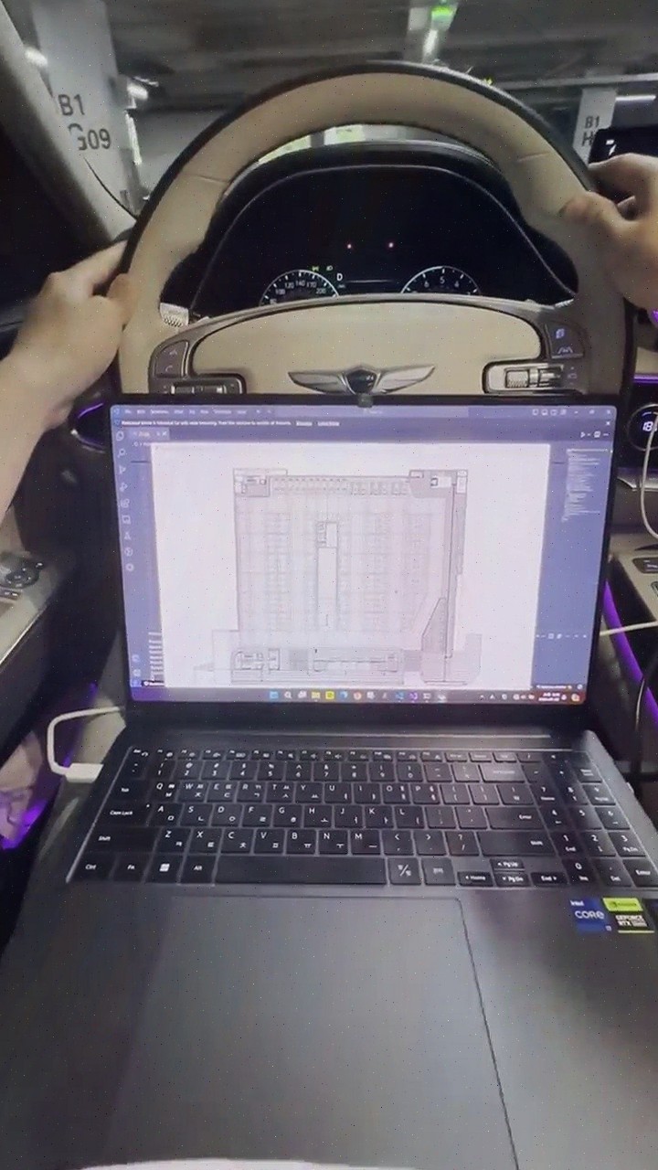
| Source | 02060680 · blog.naver.com/02060680 |
|---|---|
| Published | 2026-08-04 |
| Original | View original → |
Key information
| Location | GPS Eumyeongjiyeok ( Sillae, Teoneol, Jihajuchajang Deung ) |
|---|---|
| technology | Fuses and analyzes vehicle CAN and IMU data with AI algorithms |
| support service | Parking location guidance, parking space availability guidance, lane-level navigation, vehicle location tracking, driving safety services, automatic payment |
| map construction method | AI automatically recognizes building blueprints and converts them into navigation maps, applying behavior-oriented labeling |
| cost characteristics | Achieves precise positioning using only standard vehicle data without separate expensive sensors or additional infrastructure, reducing construction cost, time, and maintenance cost compared to existing precise map building methods |
Frequently asked questions
Q. What technology does Jusikhoesa Jeuseuraepseu provide?
Jusikhoesa Jeuseuraepseu provides AI-based precise positioning technology that offers stable location recognition even in GPS-shadowed areas, by fusing and analyzing vehicle CAN and IMU data with AI algorithms.
Q. What functions do the precise positioning services of Jusikhoesa Jeuseuraepseu support?
The precise positioning services of Jusikhoesa Jeuseuraepseu support mobility functions such as parking location guidance, parking space availability guidance, lane-level navigation, vehicle location tracking, driving safety services, and automatic payment.
Q. How does Jusikhoesa Jeuseuraepseu achieve precise positioning in GPS-shadowed areas?
In GPS-shadowed areas, Jusikhoesa Jeuseuraepseu fuses and analyzes vehicle CAN and IMU data with AI algorithms to provide stable location recognition, without the need for separate expensive sensors or additional infrastructure.
Q. What is the precise map building method of Jusikhoesa Jeuseuraepseu?
Jusikhoesa Jeuseuraepseu uses AI to automatically recognize building blueprints and convert them into navigation maps, and applies behavior-oriented labeling to increase the efficiency of precise map building.